
Lechstaustufe Feldheim
Location: Niederschönenfeld
Elevation above the sea: 399.5 m
GPS coordinates: 48.72833,10.92167
Latest update: March 27, 2025 20:03

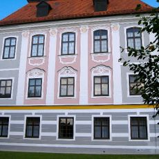
Schloss Leitheim
3.4 km
Mariä Himmelfahrt
1.2 km
St. Johannes der Täufer
4.2 km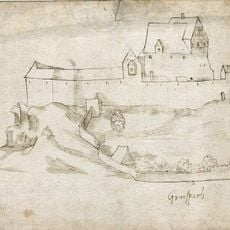
Burgruine Graisbach
3.1 km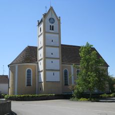
St. Peter und Paul (Genderkingen)
3.8 km
Schloss Schweinspoint
3.5 km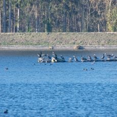
Vogelfreistätte Feldheimer Stausee
1.1 km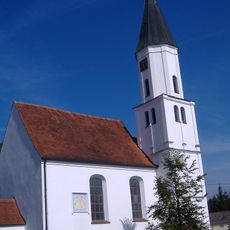
St. Georg (Mittelstetten)
3.7 km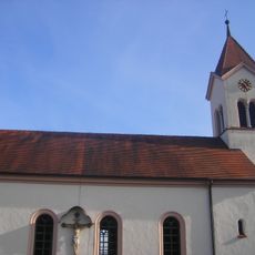
St. Willibald
3.6 km
Donaualtwasser bei Leitheim
2.5 km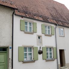
Gebrüder-Lachner-Museum
4.2 km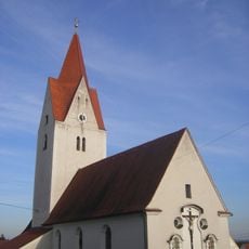
St. Vitus
1.6 km
Katholische Filialkirche St. Bartholomäus
3.5 km
Hallenbad Rain
3.8 km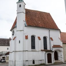
Allerheiligenkapelle
4.2 km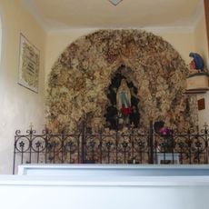
Lourdeskapelle
3.6 km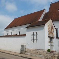
St. Peter und Paul
2.3 km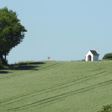
Wegkapelle
1.8 km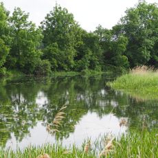
Schutz von Landschaftsteilen in der Stadt Donauwörth und in den Gemeinden Altisheim, Graisbach, Marxheim und Schäfstall
3 km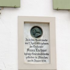
Kirchplatz 7 in Rain am Lech
4.2 km
Gasthaus
1.8 km
Wohnhaus
4.1 km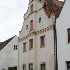
Wohnhaus
4.2 km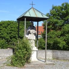
Brückenfigur
1.8 km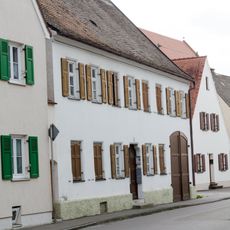
Wohnhaus
4.1 km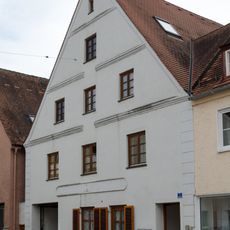
Ehemals Gasthaus, jetzt Wohnhaus
4.2 km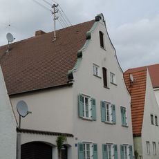
Ehemals Chorregentenhaus
4.1 km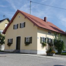
Ehemaliges Forsthaus
3.9 kmReviews
Visited this place? Tap the stars to rate it and share your experience / photos with the community! Try now! You can cancel it anytime.
Discover hidden gems everywhere you go!
From secret cafés to breathtaking viewpoints, skip the crowded tourist spots and find places that match your style. Our app makes it easy with voice search, smart filtering, route optimization, and insider tips from travelers worldwide. Download now for the complete mobile experience.

A unique approach to discovering new places❞
— Le Figaro
All the places worth exploring❞
— France Info
A tailor-made excursion in just a few clicks❞
— 20 Minutes