
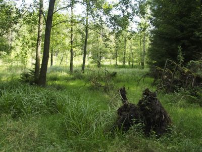
Lutter, nature reserve in Lower Saxony, Germany
Location: Eschede
Location: Beedenbostel
Location: Lachendorf
Location: Eldingen
Location: Steinhorst
Location: Sprakensehl
Inception: 2007
GPS coordinates: 52.70680,10.39340
Latest update: March 2, 2025 23:17
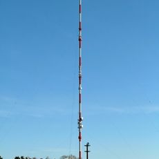
Behren-Bokel Transmitter
13.5 km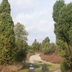
Heiliger Hain
14.3 km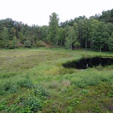
Bullenkuhle
14.5 km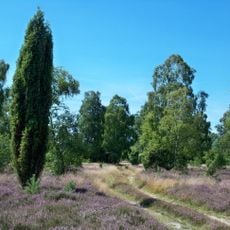
Schnuckenheide
10.4 km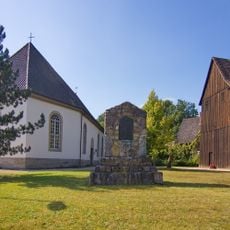
Martinskirche in Beedenbostel
11.6 km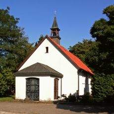
St. Theresia vom Kinde Jesu
11.5 km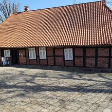
Schulmuseum Steinhorst
2.1 km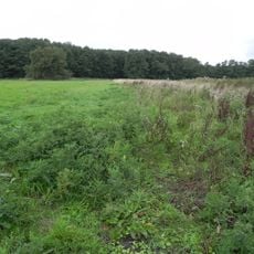
Allerdreckwiesen
14.8 km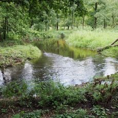
Lachte
9.4 km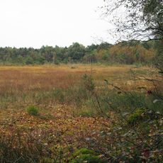
Breites Moor
14.6 km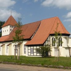
Pankratiuskirche Hankensbüttel
14.4 km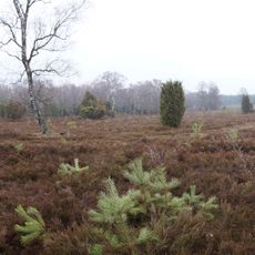
Bokeler Heide
15 km
Lünsholz
15.1 km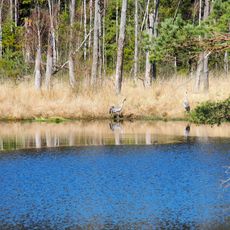
Quell- und Durchströmungsmoor mit Kleingewässern bei Dalle
10.2 km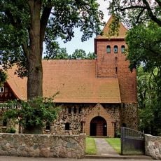
Himmelfahrtskirche
13.3 km
Niederungsbereich Oerrelbach
14 km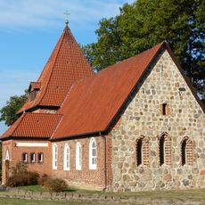
Christophoruskirche in Sprakensehl
9.3 km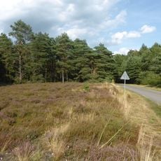
Rössenbergheide - Külsenmoor
13.5 km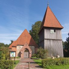
St. Georgs-Kirche
2.1 km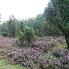
Hoppenriethe
12.6 km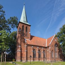
Friedenskirche
8.3 km
Bullenkuhle
14.5 km
Bullenkuhle
14.5 km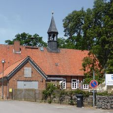
Schule Bokensdorf
14.6 km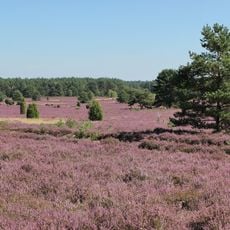
Südheide und Aschauteiche bei Eschede
8.8 km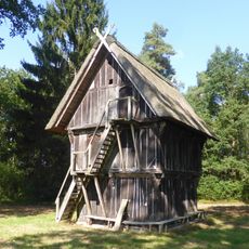
Treppenspeicher
14.4 km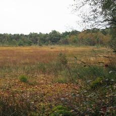
Breites Moor
14.6 km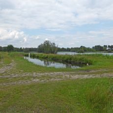
Teichgut in der Oerreler Heide
12.5 kmReviews
Visited this place? Tap the stars to rate it and share your experience / photos with the community! Try now! You can cancel it anytime.
Discover hidden gems everywhere you go!
From secret cafés to breathtaking viewpoints, skip the crowded tourist spots and find places that match your style. Our app makes it easy with voice search, smart filtering, route optimization, and insider tips from travelers worldwide. Download now for the complete mobile experience.

A unique approach to discovering new places❞
— Le Figaro
All the places worth exploring❞
— France Info
A tailor-made excursion in just a few clicks❞
— 20 Minutes