
Bad Freienwalde, protected area in Germany
Location: Märkisch-Oderland District
Inception: January 12, 1965
GPS coordinates: 52.76905,14.00161
Latest update: March 30, 2025 18:46
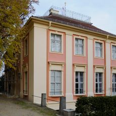
Schloss Freienwalde
2.6 km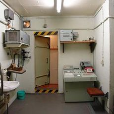
Bunker Wollenberg
4.1 km
Oderbruch Museum Altranft
5.6 km
Altranft Manor
5.6 km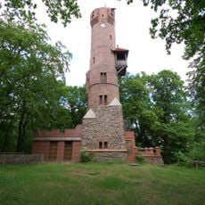
Bismarck Tower
2.7 km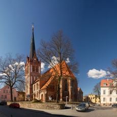
St. Nicholas church (Bad Freienwalde)
2.8 km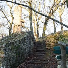
Burg Malchow
2.7 km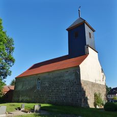
Village church Wollenberg
5.3 km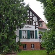
Villa Hoffnung (Bad Freienwalde)
3.3 km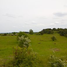
Hutelandschaft Altranft-Sonnenburg
5.2 km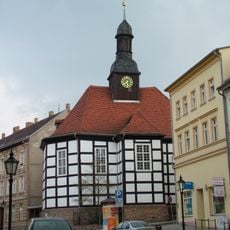
St. George (Bad Freienwalde)
2.7 km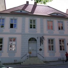
Oderlandmuseum
2.8 km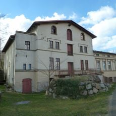
Rote Mühle
4.4 km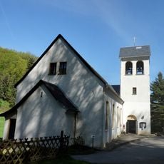
Mission church Malche
2.5 km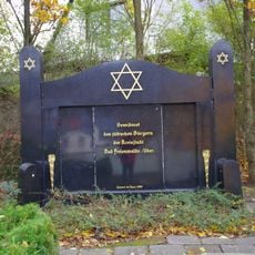
Jüdischer Friedhof
2.5 km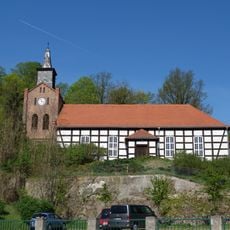
Village church Falkenberg (Mark)
5 km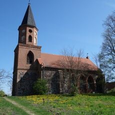
Village church Dannenberg/Mark
3.1 km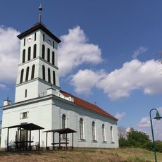
Village church Cöthen
5.3 km
Militärhistorisches Sonderobjekt 301 Wollenberg e.V.
4.1 km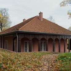
Teehäuschen
2.6 km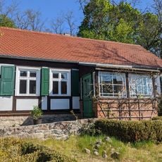
Fontanehaus Schiffmühle
5.2 km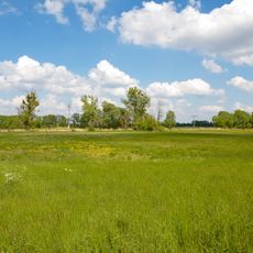
Orchideenwiese Bad Freienwalde
4.2 km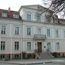
Bad Freienwalde (Oder) town hall
2.8 km
Schloss Freienwalde
2.8 km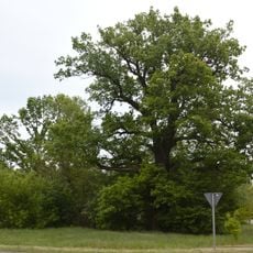
Naturdenkmal Stiel-Eiche Altranft, ca. 20 m nordöstlich der K 6436 (ehemals B 167) und ca. 10 m nordwestlich der Einfahrt zum Autohaus Oderbruch (Straßenname "Zur Eiche"). in Altranft
5 km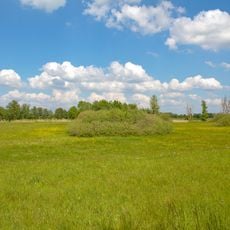
Oderbruchrand Bad Freienwalde
2.3 km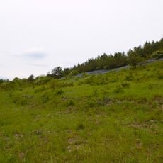
Hutelandschaft Altranft-Sonnenburg
5.3 km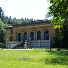
Kurhaus Bad Freienwalde
1.5 kmReviews
Visited this place? Tap the stars to rate it and share your experience / photos with the community! Try now! You can cancel it anytime.
Discover hidden gems everywhere you go!
From secret cafés to breathtaking viewpoints, skip the crowded tourist spots and find places that match your style. Our app makes it easy with voice search, smart filtering, route optimization, and insider tips from travelers worldwide. Download now for the complete mobile experience.

A unique approach to discovering new places❞
— Le Figaro
All the places worth exploring❞
— France Info
A tailor-made excursion in just a few clicks❞
— 20 Minutes