
Calenberger Börde, protected landscape in Lower Saxony, Germany
Location: Hanover region
Inception: 2016
GPS coordinates: 52.33310,9.59830
Latest update: March 30, 2025 16:48
Benther Berg-Terrassen
1.8 km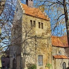
Margarethenkirche
2.2 km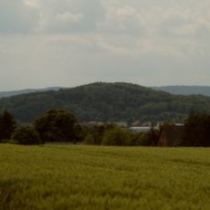
Burgberg
2.2 km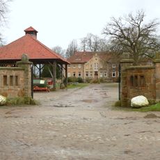
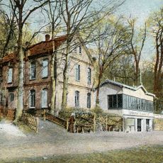
Rittergut Erichshof
958 m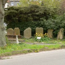
Sieben-Trappen-Steine
2.1 km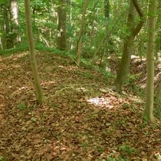
Ringwall auf dem Gehrdener Berg
2.2 km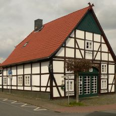
Hischen Hus
2.1 km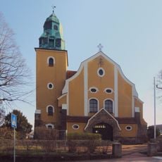
St. Bonifatius
2.1 km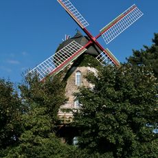
Benthe windmill
2 km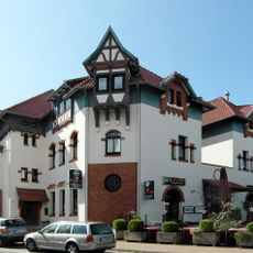
Bahnhof Gehrden
2 km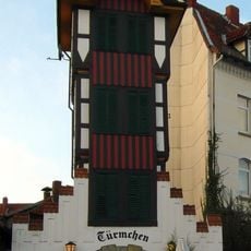
Türmchen, Gehrden
2 km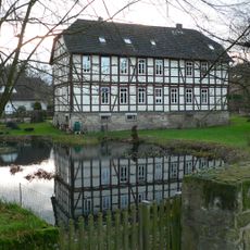
Herrenhaus Benthe
1.9 km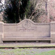
Lyra-Bank
2.2 km
Luthereiche Ditterke
1.3 km
Bahnhofsrestaurant Gehrden
2 km
Steinweg 25
2.2 km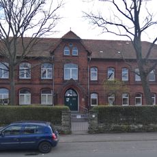
Rote Schule
2.2 km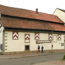
Stadtmuseum Gehrden
2.4 km
Goldener Winkel 1
1.6 km
Schwedenstein
1.4 km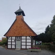
St.-Michaelis-Kapelle
1.6 km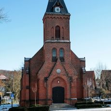
Kapelle (Everloh)
513 m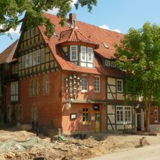
Ratskeller Gehrden
2.3 km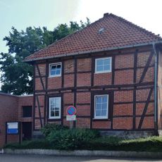
Brennereiweg 1
1.5 km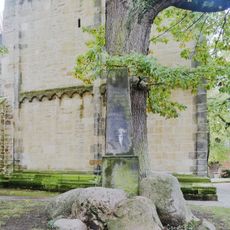
Kriegerdenkmal von 1871
2.2 km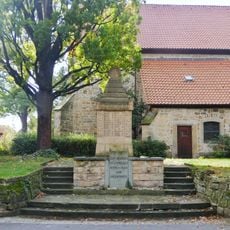
Gefallenendenkmal Gehrden
2.2 km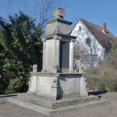
Kriegerdenkmal
1.5 km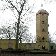
Burgbergturm
2.2 kmReviews
Visited this place? Tap the stars to rate it and share your experience / photos with the community! Try now! You can cancel it anytime.
Discover hidden gems everywhere you go!
From secret cafés to breathtaking viewpoints, skip the crowded tourist spots and find places that match your style. Our app makes it easy with voice search, smart filtering, route optimization, and insider tips from travelers worldwide. Download now for the complete mobile experience.

A unique approach to discovering new places❞
— Le Figaro
All the places worth exploring❞
— France Info
A tailor-made excursion in just a few clicks❞
— 20 Minutes