
Dünengebiet südlich Gandesbergen, Sechsacker und Kraienkamp
Dünengebiet südlich Gandesbergen, Sechsacker und Kraienkamp, protected landscape in Lower Saxony, Germany
Location: Nienburg an der Weser
Inception: 1983
GPS coordinates: 52.74420,9.25373
Latest update: March 24, 2025 15:58
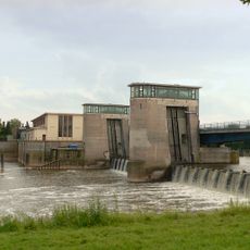
Staustufe Drakenburg
6.8 km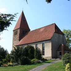
Willehadi church
4.7 km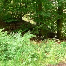
Brunsburg
5.7 km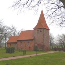
St. Cosmae et Damiani (Hassel)
7 km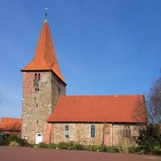
Bartholomäuskirche Balge
5.4 km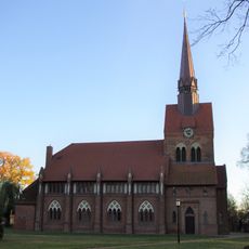
St.-Michaelis
4.5 km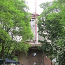
Windmühle Margarethe
4.1 km
Kirchstraße 22
4.6 km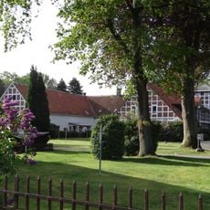
Doenhauser Straße 30
3.4 km
Mahlen 4
6 km
Mahlen 5
6.1 km
Hauptstraße 11
4.9 km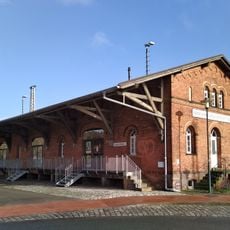
Güterschuppen
4.7 km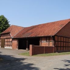
Mahlen 3
5.9 km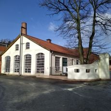
Maschinenhaus der Senffabrik Leman
4.7 km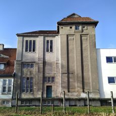
Mill of Senffabrik Leman
4.7 km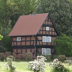
Am Spreet 2
4.5 km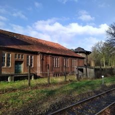
Fabrikgebäude Senffabrik
4.8 km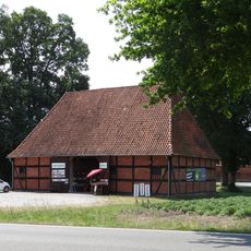
Kohlscheune
6.7 km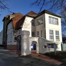
Verwaltungsgebäude Senffabrik Leman
4.7 km
Stable Ostermeierstraße 8
7 km
Doenhauser Straße 14
3.8 km
Hauptstraße 10
5 km
Bahnhofstraße 63
4.6 km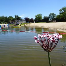
Naturfreibad Eystrup
5.8 km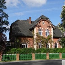
Hauptstraße 68
3.8 km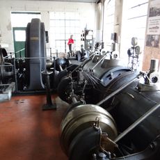
Senffabrik Leman steam engine
4.7 km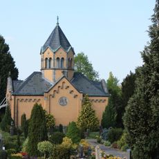
Mausoleum
4.8 kmReviews
Visited this place? Tap the stars to rate it and share your experience / photos with the community! Try now! You can cancel it anytime.
Discover hidden gems everywhere you go!
From secret cafés to breathtaking viewpoints, skip the crowded tourist spots and find places that match your style. Our app makes it easy with voice search, smart filtering, route optimization, and insider tips from travelers worldwide. Download now for the complete mobile experience.

A unique approach to discovering new places❞
— Le Figaro
All the places worth exploring❞
— France Info
A tailor-made excursion in just a few clicks❞
— 20 Minutes