Enable Location

We need your location to show you interesting places around you

Discover nearby places

Find interesting locations and hidden gems around you

Precise directions

Get accurate directions and distances to places

Your location is never shared with other users. It's only used when you tap the location button.

Log in to your account

Start exploring — it's free

Trusted by 62,385 travelers worldwide

Continue with Google
Continue with Apple
or

We will send you a code to connect

By continuing, you accept our Terms and Conditions and our Privacy Policy

Check your inbox

We've sent a pincode in your inbox. Please enter the code below.

Nienburg an der Weser, Administrative district in Lower Saxony, Germany.

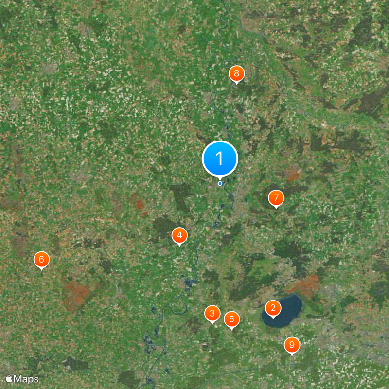
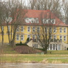
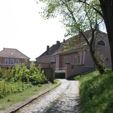
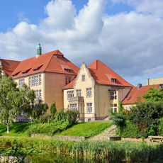
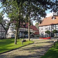
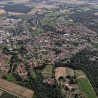
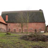
This district in Lower Saxony stretches along the Weser River between Bremen and Hanover, encompassing multiple towns and rural communities. The landscape is shaped by river valleys and farmland, with Nienburg town serving as the administrative center.

From medieval times, the region formed the heart of the County of Hoya until 1582, when the ruling family died out. Brunswick-Lüneburg then took control and reshaped the political structure of the area.

The name comes from its position along the Weser and the river's role in shaping settlement patterns. Today, visitors can see how the waterway remains central to local life and connections between towns.

The district is accessible from nearby cities and offers accommodation and dining options in its towns. Visitors can explore the region by public transport or car, visiting individual villages and sites along the river.

The district's coat of arms blends symbols from its medieval past: two horses and a bear's paw represent the former counties of Hoya and Wölpe. This emblem shows how different territories merged to form the area we see today.

The community of curious travelers

AroundUs brings together thousands of curated places, local tips, and hidden gems, enriched daily by 60,000 contributors worldwide.

Start exploring
Location
Inception
April 1, 1885
Capital city
Nienburg/Weser
Elevation above the sea
21 m
Shares border with
Heidekreis, Verden district, Diepholz, Hannover Region, Schaumburg, Minden-Lübbecke District
GPS coordinates
52.67000,9.17000
Latest update
December 20, 2025 01:48
« Nienburg an der Weser - Administrative district in Lower Saxony, Germany » is provided by Around Us (aroundus.com). Images and texts are derived from Wikimedia project under a Creative Commons license. You are allowed to copy, distribute, and modify copies of this page, under the conditions set by the license, as long as this note is clearly visible.

Discover hidden gems everywhere you go!

From secret cafés to breathtaking viewpoints, skip the crowded tourist spots and find places that match your style. Our app makes it easy with voice search, smart filtering, route optimization, and insider tips from travelers worldwide. Download now for the complete mobile experience.

Around Us App Screenshot

A unique approach to discovering new places

Le Figaro

All the places worth exploring

France Info

A tailor-made excursion in just a few clicks

20 Minutes

Around Us
Travel Guide & Maps
Download

Send to your phone

QR Code
1

Open the camera app on your mobile.

2

Point at the QR code with your camera. A notification will appear.

3

Tap the notification to open the link.