
Naturschutzgebiet Herrnberg von Groß-Umstadt, protected area in Germany
Location: Groß-Umstadt
Inception: May 28, 1996
GPS coordinates: 49.86522,8.94294
Latest update: March 12, 2025 14:28
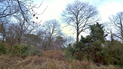
Steinbornshohl
545 m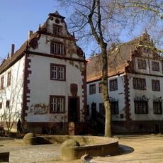
Wamboltsches Schloss
1.2 km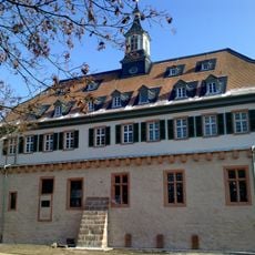
Pfälzer Schloss
1.2 km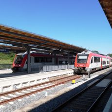
Groß-Umstadt Wiebelsbach station
3.6 km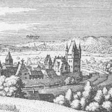
Darmstädter Schloss
1.1 km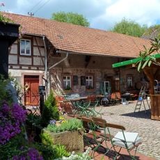
Gruberhof
915 m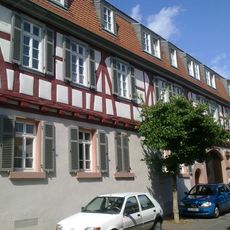
Rodensteiner Schloss
1.2 km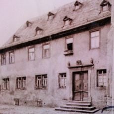
Gans'scher Adelshof
1 km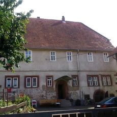
Heddersdorf’scher Adelshof
1.2 km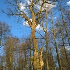
Gambseiche
4.2 km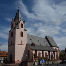
Evangelische Kirche
1 km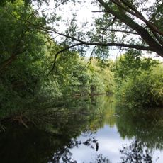
Naturschutzgebiet Taubensemd von Habitzheim, Semd und Groß-Umstadt
3.5 km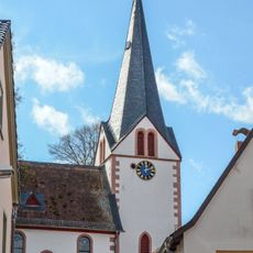
Evangelische Kirche
2.5 km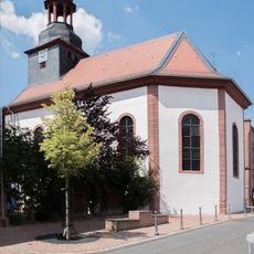
Evangelische Kirche in Richen
2.7 km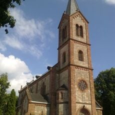
Katholische Kirche
1.2 km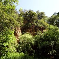
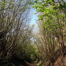
Eichgraben bei Zipfen
3.6 km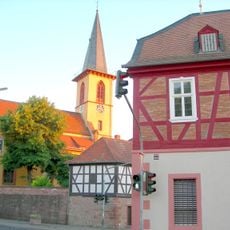
Evangelische Kirche
4.2 km
Haus Hindenburgstraße 13
4.4 km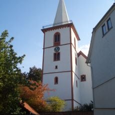
St. Gallus
4.4 km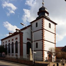
Evangelische Kirche Semd
4.2 km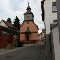
Protestant Church
1.6 km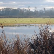
Untere Gersprenzaue
3.4 km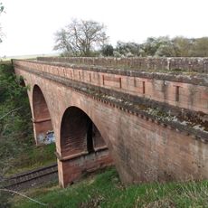
Straßenbrücke
3.4 km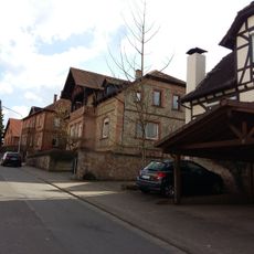
Gesamtanlage
4.3 km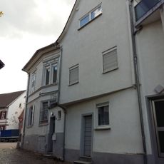
Ehem. Synagoge
4.5 km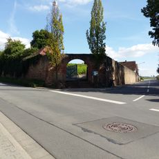
Friedhof
4.5 km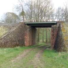
Eisenbahnbrücke
3 km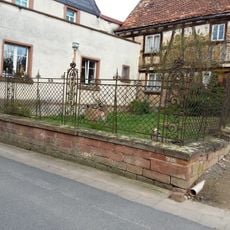
Zaunanlage
4.6 kmVisited this place? Tap the stars to rate it and share your experience / photos with the community! Try now! You can cancel it anytime.
Discover hidden gems everywhere you go!
From secret cafés to breathtaking viewpoints, skip the crowded tourist spots and find places that match your style. Our app makes it easy with voice search, smart filtering, route optimization, and insider tips from travelers worldwide. Download now for the complete mobile experience.

A unique approach to discovering new places❞
— Le Figaro
All the places worth exploring❞
— France Info
A tailor-made excursion in just a few clicks❞
— 20 Minutes