
Natura 2000-Untere Haseniederung, protected landscape in Lower Saxony, Germany
Location: Emsland
Inception: 2017
GPS coordinates: 52.65950,7.43920
Latest update: March 8, 2025 14:17
Saint Vitus Church (Meppen)
10.5 km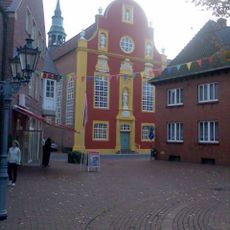
Gymnasialkirche Meppen
10.5 km
Schießplatz Meppen
12.1 km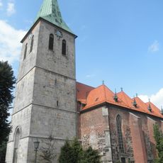
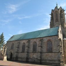
St. Vincentius-Kirche Haselünne
3.5 km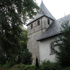
St. Vitus
7.6 km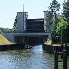
Meppen lock
9.2 km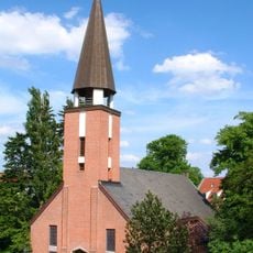
Gustav-Adolf-Kirche (Meppen)
10.5 km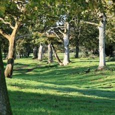
Meppener Kuhweide
12.1 km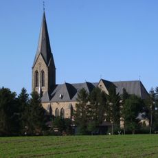
St. Alexander
7 km
Högerhaus
10.5 km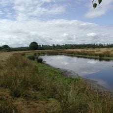
Natura 2000–Naturschutzgebiet in der unteren Haseniederung
3.7 km
Wekenborg
7.4 km
Lechtegoor
6.7 km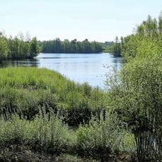
Biotop am Speicherbecken Geeste
11.7 km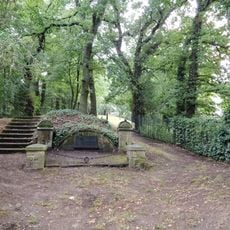
Jüdischer Friedhof
10 km
St. Nikolaus
11.4 km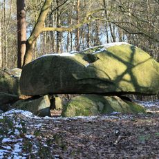
Der Steinerne Schlüssel
8.9 km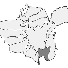
Grabhügel von Meppen-Teglingen
7.7 km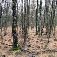
Dörgener Moor
7.1 km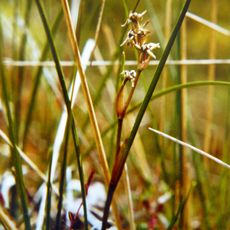
Südtannenmoor
9.5 km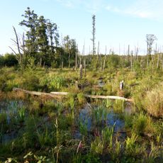
Lahrer Moor
4.2 km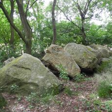
Großsteingrab Westerloh I
10.3 km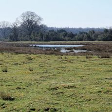
Haselünner Kuhweide
4 km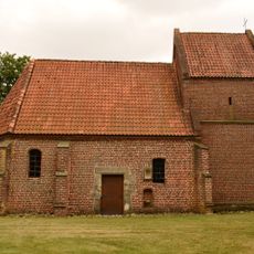
St.-Antonius-Kapelle
1.2 km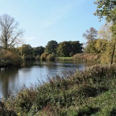
Ems
10.2 km
Railway Station Haselünne
3.6 km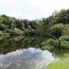
Emstal (Landkreis Emsland)
8.8 km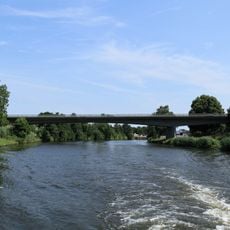
Umgehungsstraßen-Brücke Nr. 173b
11.2 kmReviews
Visited this place? Tap the stars to rate it and share your experience / photos with the community! Try now! You can cancel it anytime.
Discover hidden gems everywhere you go!
From secret cafés to breathtaking viewpoints, skip the crowded tourist spots and find places that match your style. Our app makes it easy with voice search, smart filtering, route optimization, and insider tips from travelers worldwide. Download now for the complete mobile experience.

A unique approach to discovering new places❞
— Le Figaro
All the places worth exploring❞
— France Info
A tailor-made excursion in just a few clicks❞
— 20 Minutes