
Oberlether Fuhrenkamp, protected landscape in Lower Saxony, Germany
Location: Oldenburg
Inception: 1976
GPS coordinates: 53.06230,8.14707
Latest update: May 14, 2025 08:19

Cäcilienbrücke
9.3 km
State Museum Nature and Human Oldenburg
9.3 km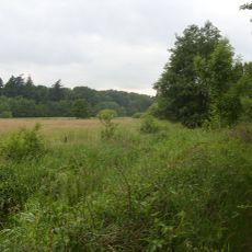
Barneführer Holz und Schreensmoor
9.4 km
Dreifaltigkeitskirche
9.1 km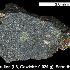
Benthullen Meteorite
3.4 km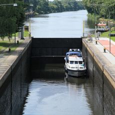
Oldenburg lock
8.3 km
Hochstrasse Oldenburg
8.5 km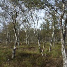
Everstenmoor
5.8 km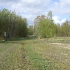
Bahndammgelände Krusenbusch
7.8 km
Marienkirche
2.9 km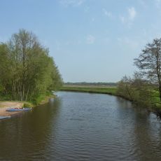
Mittlere Hunte
6.4 km
Ehrenmal des Oldenburgischen Infanterie-Regiments Nr. 91
9.2 km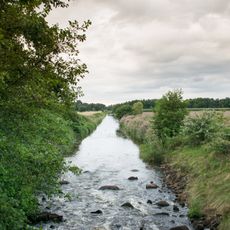
Lethe
7.6 km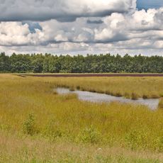
Benthullener Moor
3 km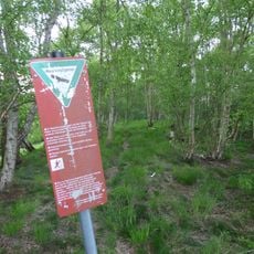
Jeddeloher Moor
6 km
Böseler Moor
6.2 km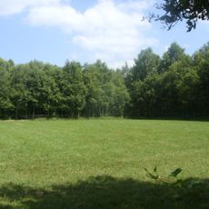
Restmoor Dreesberg
6.4 km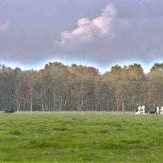
Harberner Heide
4.2 km
Staatsministerium Oldenburg
9.3 km
Dobbenanlagen
9.3 km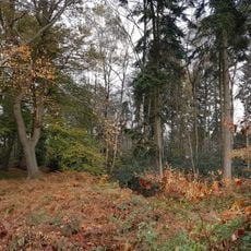
Forst Wildenloh
7.2 km
Kistenberg
9.1 km
Eversten Holz
8.9 km
Neu-Osenberge
6.6 km
Parliament building of Oldenburg
9.2 km
Vogelschutzgebiet zwischen Küsten- und Osternburger Kanal
8.6 km
Schloßgarten Oldenburg
9.2 km
Cäcilienplatz
9.4 kmReviews
Visited this place? Tap the stars to rate it and share your experience / photos with the community! Try now! You can cancel it anytime.
Discover hidden gems everywhere you go!
From secret cafés to breathtaking viewpoints, skip the crowded tourist spots and find places that match your style. Our app makes it easy with voice search, smart filtering, route optimization, and insider tips from travelers worldwide. Download now for the complete mobile experience.

A unique approach to discovering new places❞
— Le Figaro
All the places worth exploring❞
— France Info
A tailor-made excursion in just a few clicks❞
— 20 Minutes