
Platz westlich der Straße von Süd-Edewecht nach Edewechterdamm und südlich der Vehne
Platz westlich der Straße von Süd-Edewecht nach Edewechterdamm und südlich der Vehne, protected landscape in Lower Saxony, Germany
Location: Ammerland
Inception: 1949
GPS coordinates: 53.11140,7.95576
Latest update: April 16, 2025 19:30

Park der Gärten
10.2 km
Johanneskirche
9.1 km
Open air museum Ammerländer Bauernhaus
9 km
Water tower in Bad Zwischenahn
8.9 km
Großes Engelsmeer
9.1 km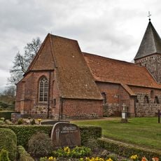
St. Vituskirche
10.5 km
Schüßler memorial
9 km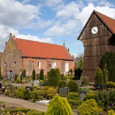
St.-Nikolai-Kirche
2.8 km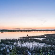
Vehnemoor
6 km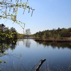
Fintlandsmoor und Dänikhorster Moor
6.7 km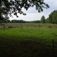
Ahrensdorfer Moor
4.9 km
Godensholter Tief
10.7 km
Glittenberger Moor
9.1 km
Dänikhorster Moor
5.2 km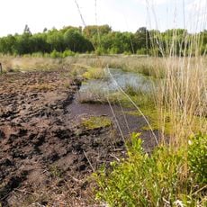
Fintlandsmoor
7.7 km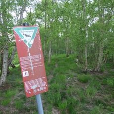
Jeddeloher Moor
8 km
Sandgrube Pirgo
8 km
Badepark
8.9 km
Harberner Heide
9.7 km
Querensteder Mühle
5.4 km
Großes Engelsmeer
9.1 km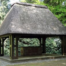
Ehrenmal
10.7 km
Stele 100 Jahre Bad
9 km
Rügenwalder Mühle
9.6 km
Aali and Aalisa
8.9 km
Zwischenahner Meer mit Umgebung
10.4 km
Blindenbrunnen
10.3 km
Sinnesstationen
9 kmReviews
Visited this place? Tap the stars to rate it and share your experience / photos with the community! Try now! You can cancel it anytime.
Discover hidden gems everywhere you go!
From secret cafés to breathtaking viewpoints, skip the crowded tourist spots and find places that match your style. Our app makes it easy with voice search, smart filtering, route optimization, and insider tips from travelers worldwide. Download now for the complete mobile experience.

A unique approach to discovering new places❞
— Le Figaro
All the places worth exploring❞
— France Info
A tailor-made excursion in just a few clicks❞
— 20 Minutes