
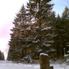
Solling, protected landscape in Lower Saxony, Germany
Location: Northeim
Inception: 1999
GPS coordinates: 51.70020,9.64125
Latest update: March 6, 2025 06:52
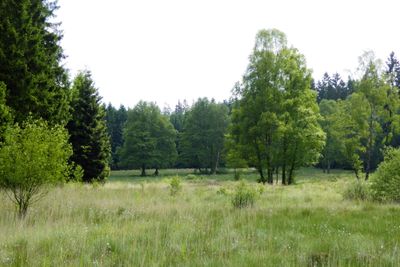
Große Blöße
9.5 km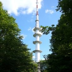
Fernmeldeturm Solling
7.9 km
Bergsee
6.5 km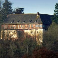
Jagdschloss Nienover
8.5 km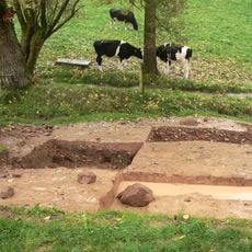
Waldglashütte im Reiherbachtal
7.9 km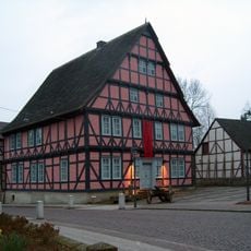
Museum Uslar
4.7 km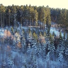
Moosberg
8.9 km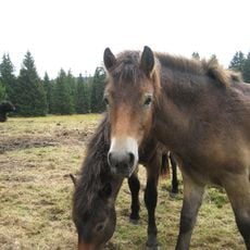
Hutewaldprojekt im Naturpark Solling-Vogler
4.7 km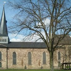
St. Johanniskirche
4.7 km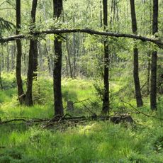
Torfmoor
8.6 km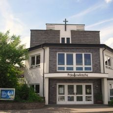
Peace Church
4.3 km
Eichenhudewälder bei Lauenberg
9.4 km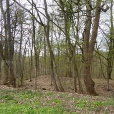
Dunieburg
6.2 km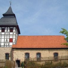
St. Margarethenkirche
8.4 km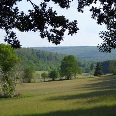
Ahlewiesen
8.2 km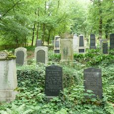
Jüdischer Friedhof
9.4 km
Jewish Cemetery, Sievershausen
7.8 km
St. Trinitatiskirche
7.7 km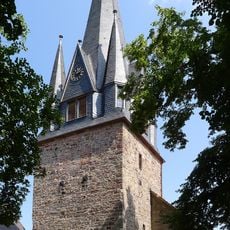
Christuskirche
9 km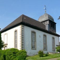
St. Vitus
7.9 km
St. Georgkirche
7.8 km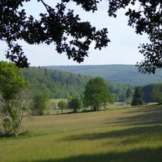
Ahlewiesen (Landkreis Holzminden)
9.5 km
Wälder im Solling bei Lauenberg
9.5 km
Local museum Bodenfelde
8.8 km
Solling
3.8 km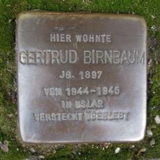
Stolperstein dedicated to Gertrud Birnbaum
4.6 km
Ahlewiesen (Landkreis Northeim)
8.2 km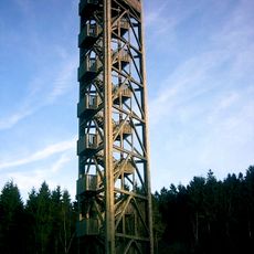
Hochsolling-Tower
9.1 kmReviews
Visited this place? Tap the stars to rate it and share your experience / photos with the community! Try now! You can cancel it anytime.
Discover hidden gems everywhere you go!
From secret cafés to breathtaking viewpoints, skip the crowded tourist spots and find places that match your style. Our app makes it easy with voice search, smart filtering, route optimization, and insider tips from travelers worldwide. Download now for the complete mobile experience.

A unique approach to discovering new places❞
— Le Figaro
All the places worth exploring❞
— France Info
A tailor-made excursion in just a few clicks❞
— 20 Minutes