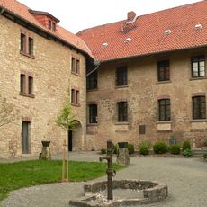
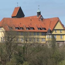
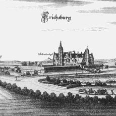
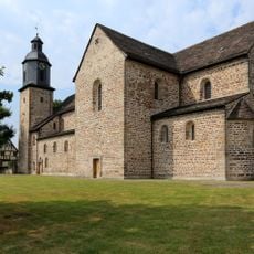
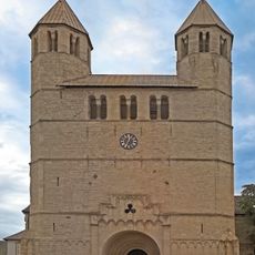
Northeim, Administrative district in Lower Saxony, Germany.
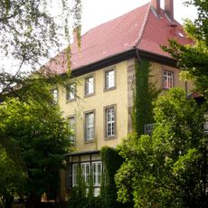
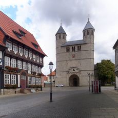
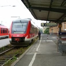
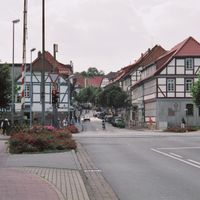
Northeim district covers approximately 1,270 square kilometers (490 square miles) across Lower Saxony and comprises eleven municipalities spread between geographic features. The administrative center in the city of Northeim manages regional services and coordination for all the communities within the district.
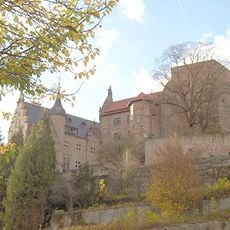
The district was established in 1885 during Prussian administrative reforms and took its current form following mergers in 1974, when the former districts of Northeim, Uslar, and Einbeck were united. These reorganizations shaped the territorial structure that exists today.
The district emblem features two lions in blue and yellow, symbols tied to its past as part of the Brunswick-Lüneburg territory. These colors still appear throughout the region on official buildings and local markers.
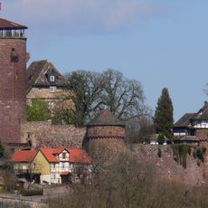
The district is centrally located in Lower Saxony and accessible from various directions, with the city of Northeim serving as the main reference point for administrative matters. The area features a mix of rural and urban zones with different road connections depending on your destination.
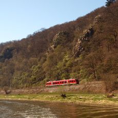
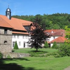
The district encompasses an uninhabited forest region called Solling, spanning approximately 150 square kilometers and forming a distinct natural zone. This woodland area provides a striking contrast to the settled regions and shapes the nature experience throughout the district.
The community of curious travelers
AroundUs brings together thousands of curated places, local tips, and hidden gems, enriched daily by 60,000 contributors worldwide.