
Tötenser Sunder, protected landscape in Lower Saxony, Germany
Location: Harburg
Inception: 1965
GPS coordinates: 53.39250,9.93639
Latest update: June 18, 2025 01:29
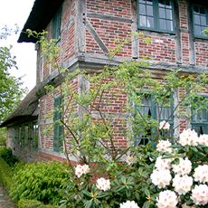
Freilichtmuseum am Kiekeberg
5.8 km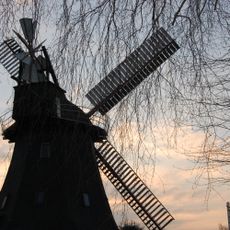
Windmühle Hittfeld
3.4 km
Watermill Karoxbostel
4.7 km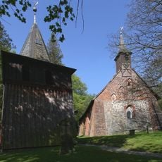
Kirche Sinstorf
4.4 km
Fernmeldeturm Rosengarten
4.7 km
Gannaberg
4.5 km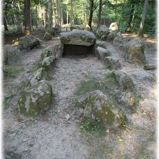
Dolmen in Klecker Wald
5.3 km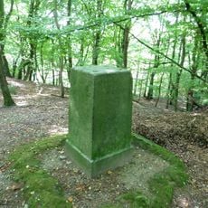
Kiekeberg
5.5 km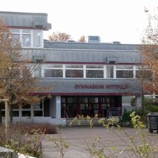
Gymnasium Hittfeld
2.4 km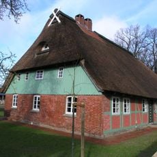
Museumsstellmacherei Langenrehm
5.2 km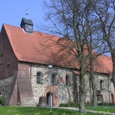
St. Mauritiuskirche (Hittfeld)
3.3 km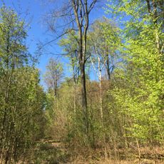
Naturschutzgebiet Buchenwälder im Rosengarten
5.9 km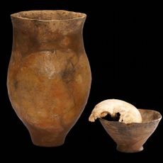
Metzendorf-Woxdorf head burial
2.3 km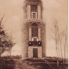
Bismarckturm (Rosengarten)
5.7 km
Dampf- und Traktorentreffen im Freilichtmuseum am Kiekeberg
5.7 km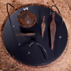
Kriegerbestattung Hamburg-Marmstorf Grab 216
5.2 km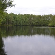
Altes Moor
5.3 km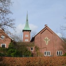
Auferstehungskirche
5.6 km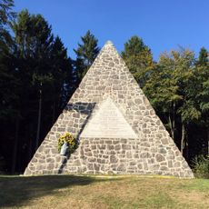
Fürstendenkmal Langenrehm
4.9 km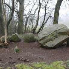
Dolmen Emsen
4.8 km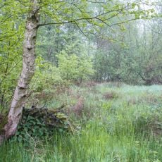
Ohlen Kuhlen
5.8 km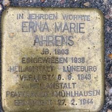
Stolperstein dedicated to Erna Marie Ahrens
3 km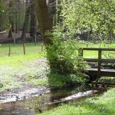
Landschaftsschutzgebiet Marmstorfer Flottsandplatte
5.7 km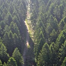
Vahrendorf Forst (Haake), Heimfeld, Eissendorf und Marmstorf
5.7 km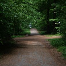
Höpen
5.2 km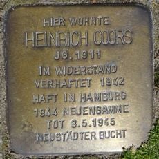
Stolperstein dedicated to Heinrich Coors
5.9 km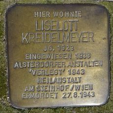
Stolperstein dedicated to Liselott Kreidelmeyer
5.9 km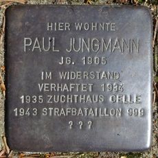
Stolperstein dedicated to Paul Jungmann
4.5 kmReviews
Visited this place? Tap the stars to rate it and share your experience / photos with the community! Try now! You can cancel it anytime.
Discover hidden gems everywhere you go!
From secret cafés to breathtaking viewpoints, skip the crowded tourist spots and find places that match your style. Our app makes it easy with voice search, smart filtering, route optimization, and insider tips from travelers worldwide. Download now for the complete mobile experience.

A unique approach to discovering new places❞
— Le Figaro
All the places worth exploring❞
— France Info
A tailor-made excursion in just a few clicks❞
— 20 Minutes