
Waldfläche in Ocholt, protected landscape in Lower Saxony, Germany
Location: Ammerland
Inception: 1987
GPS coordinates: 53.19920,7.88794
Latest update: June 23, 2025 22:20

Park der Gärten
6.7 km
Johanneskirche
7.9 km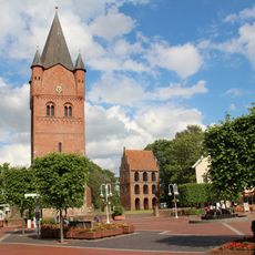
St.-Petri-Kirche
7 km
Water tower in Bad Zwischenahn
8.1 km
Mansinger Burgplatz
4.8 km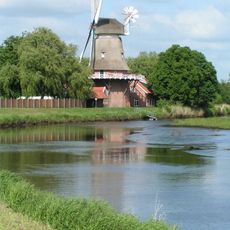
Hengstforder Mühle
7.1 km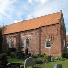
St. Nikolai, Apen
5.8 km
Schüßler memorial
7.8 km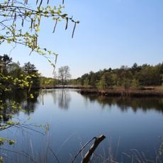
Fintlandsmoor und Dänikhorster Moor
4.1 km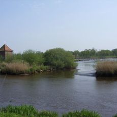
Aper Tief
7.2 km
Godensholter Tief
5.2 km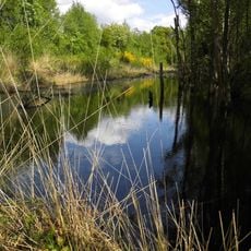
Dänikhorster Moor
5.5 km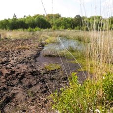
Fintlandsmoor
3.2 km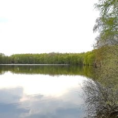
Roggenmoor
7.8 km
Freialtar
4.8 km
Hössen Schwimmbad
6.3 km
Badepark
7.5 km
Querensteder Mühle
6.3 km
Landhof Tausendschön
7.2 km
Burgplatz Mansingen mit Umgebung
4.8 km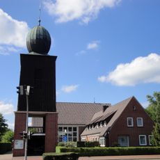
Pauluskirche
378 m
Gießelhorster Kirchweg
6.7 km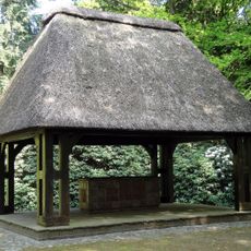
Ehrenmal
44 m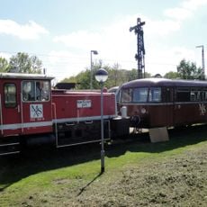
Museumseisenbahn Ammerland-Barßel-Saterland
469 m
Stele 100 Jahre Bad
8.1 km
Aali and Aalisa
8.5 km
Blindenbrunnen
6.8 km
Sinnesstationen
8.4 kmReviews
Visited this place? Tap the stars to rate it and share your experience / photos with the community! Try now! You can cancel it anytime.
Discover hidden gems everywhere you go!
From secret cafés to breathtaking viewpoints, skip the crowded tourist spots and find places that match your style. Our app makes it easy with voice search, smart filtering, route optimization, and insider tips from travelers worldwide. Download now for the complete mobile experience.

A unique approach to discovering new places❞
— Le Figaro
All the places worth exploring❞
— France Info
A tailor-made excursion in just a few clicks❞
— 20 Minutes