
Westerholt, nature reserve in Germany
Location: Remscheid
Inception: 1995
GPS coordinates: 51.18651,7.24552
Latest update: May 14, 2025 05:29
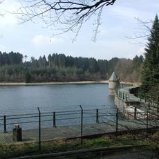
Panzertalsperre
2.1 km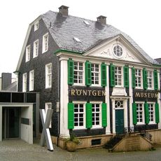
German Röntgen Museum
1.3 km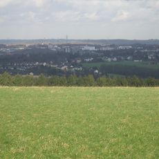
Brodtberg
1.7 km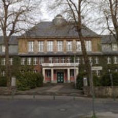
Röntgen-Gymnasium
1.7 km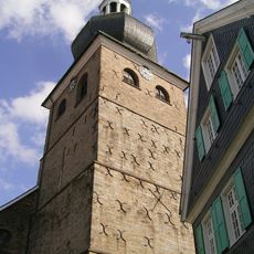
Evangelische Stadtkirche Lennep
1.1 km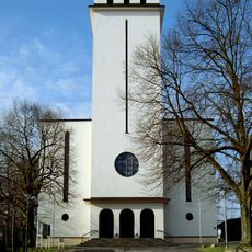
Saint Joseph Church
3 km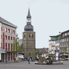
Evangelische Stadtkirche Remscheid
3.6 km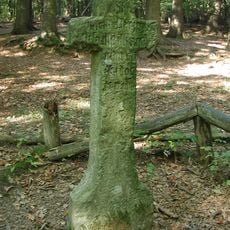
Steinernes Kreuz
3 km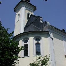
Heilig-Kreuz-Kirche
2.6 km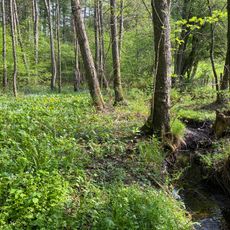
Tenter Bach und Bökerbach
1.7 km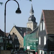
Protestant Church (Lüttringhausen)
2.5 km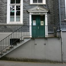
Tuchmuseum Lennep
1.3 km
St. Suitbertus
3.6 km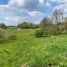
Wilhelmsthaler und Haller Bachtal
3.3 km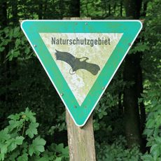
Panzertal
2 km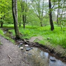
Kleebachtal
2.6 km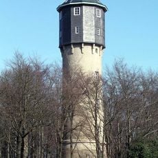
Wasserturm Lüttringhausen
2.9 km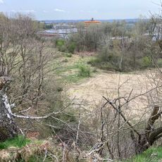
Steinbruchgelände Hohenhagen
2.1 km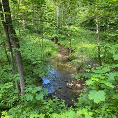
Erlenbruchwald Beek am Grenzwall und Stöcker Bach
2.5 km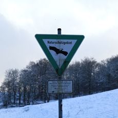
Schneppendahler Siepen
2.6 km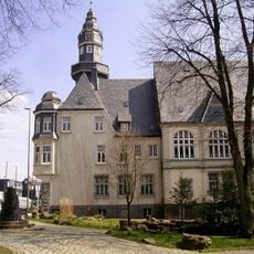
Rathaus Lüttringhausen
2.8 km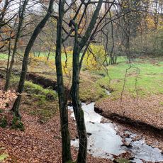
Töckelhauser Bach
3.1 km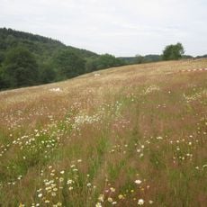
Feldbachtal
2.8 km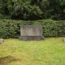
Jüdischer Friedhof Remscheid-Lüttringhausen
2.4 km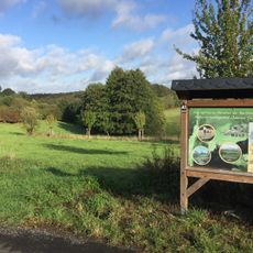
Oberer Teufelsbachtal
2.4 km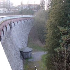
Eschbach Reservoir
3 km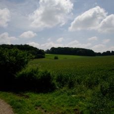
Oberlauf Marscheider Bachtal
2.9 km
LSG Remscheid-Ost
2.3 kmReviews
Visited this place? Tap the stars to rate it and share your experience / photos with the community! Try now! You can cancel it anytime.
Discover hidden gems everywhere you go!
From secret cafés to breathtaking viewpoints, skip the crowded tourist spots and find places that match your style. Our app makes it easy with voice search, smart filtering, route optimization, and insider tips from travelers worldwide. Download now for the complete mobile experience.

A unique approach to discovering new places❞
— Le Figaro
All the places worth exploring❞
— France Info
A tailor-made excursion in just a few clicks❞
— 20 Minutes