
Ödenwald, protected landscape area in Baden-Württemberg, Germany
Location: Freudenstadt
Inception: 1962
GPS coordinates: 48.41510,8.40977
Latest update: March 25, 2025 21:34
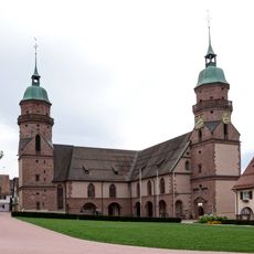
Stadtkirche
5.3 km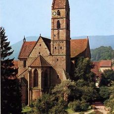
Alpirsbach Abbey
7.7 km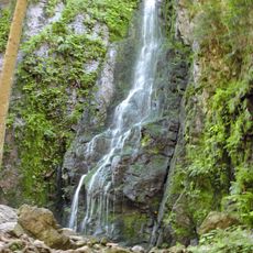
Burgbach Waterfall
5.5 km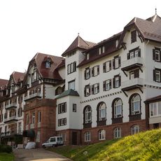
Kurhaus Palmenwald
4.7 km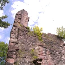
Ruine Sterneck
6.9 km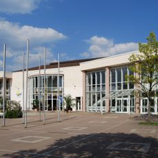
Kurhaus Freudenstadt
5.1 km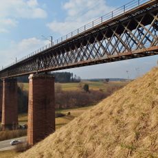
Kübelbachviadukt
8.3 km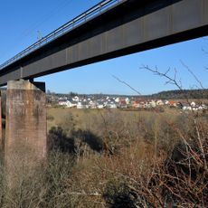
Stockerbachviadukt
7.9 km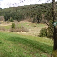
Glaswiesen und Glaswald
6.6 km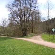
Heimbachaue
7.4 km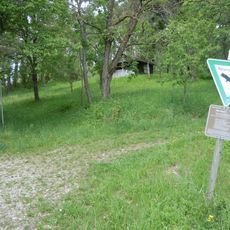
Alte Egart
8.4 km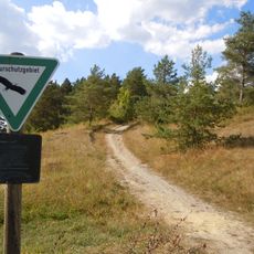
Forchenkopf
7.6 km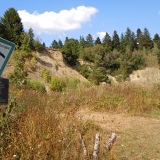
Benzinger Berg
6.4 km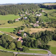
Fischbachtal
4.9 km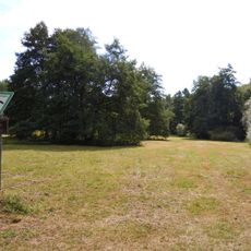
Stockerbachtal
8.9 km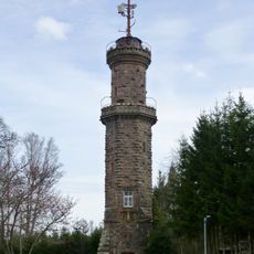
Friedrichsturm
4.2 km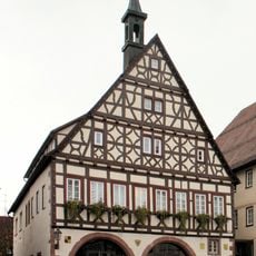
Dornsterren Town Hall
8.8 km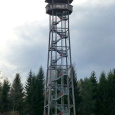
Vogtei-Tower
2.2 km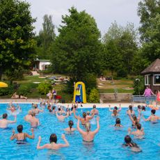
Loßburger Freibad
2.8 km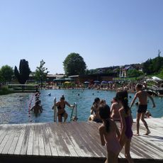
Naturerlebnisbad Glatten
7.9 km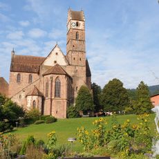
Kurgarten
7.6 km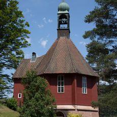
Michaelskirche
8 km
Schwimmbad Wittlensweiler
6.8 km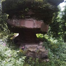
Sandsteinblock "Kastelstein"
7.5 km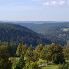
Kienberg
4.4 km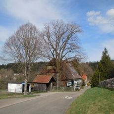
1 Sommerlinde
8 km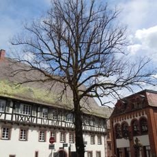
1 Sommerlinde
7.7 km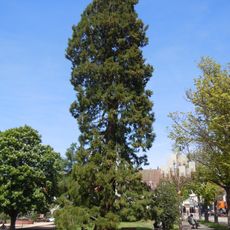
1 Mammutbaum
5.4 kmReviews
Visited this place? Tap the stars to rate it and share your experience / photos with the community! Try now! You can cancel it anytime.
Discover hidden gems everywhere you go!
From secret cafés to breathtaking viewpoints, skip the crowded tourist spots and find places that match your style. Our app makes it easy with voice search, smart filtering, route optimization, and insider tips from travelers worldwide. Download now for the complete mobile experience.

A unique approach to discovering new places❞
— Le Figaro
All the places worth exploring❞
— France Info
A tailor-made excursion in just a few clicks❞
— 20 Minutes