Enable Location

We need your location to show you interesting places around you

Discover nearby places

Find interesting locations and hidden gems around you

Precise directions

Get accurate directions and distances to places

Your location is never shared with other users. It's only used when you tap the location button.

Log in to your account

Join the adventure

Create your free account and start exploring (like 60k+ others)

We will send you a code to connect

or
Continue with Google
Continue with Apple
By continuing, you accept our Terms and Conditions and our Privacy Policy

Check your inbox

We've sent a pincode in your inbox. Please enter the code below.

Freudenstadt, Administrative district in Baden-Württemberg, Germany.

Description

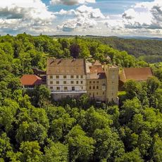
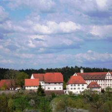
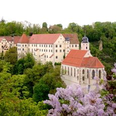
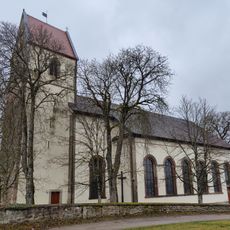
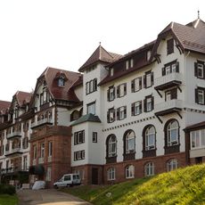
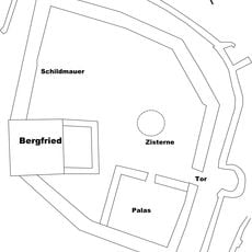
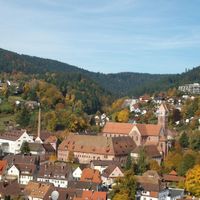
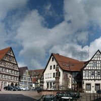
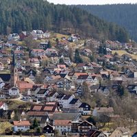
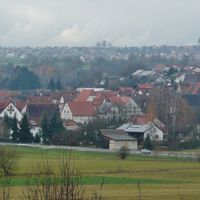
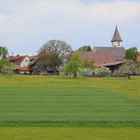
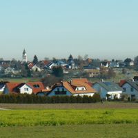
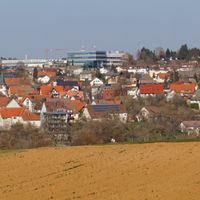
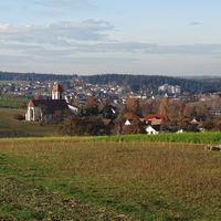
Freudenstadt is a rural district in Baden-Württemberg that spreads across the Black Forest region, encompassing 16 municipalities with the town of Freudenstadt serving as its administrative center. The area includes both urban and rural settlements integrated within this administrative framework.

History

The district was created in 1938 as a successor to the Oberamt Freudenstadt administrative body. A major territorial reform in 1973 brought areas from the neighboring districts of Horb, Wolfach, and Hechingen into the present-day boundaries.

Culture

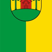
The district's coat of arms features a capercaillie bird set against yellow and black, drawing from old Württemberg heraldry and representing the region's forest wildlife. This emblem reflects the deep connection between the land and its natural heritage.

Practical

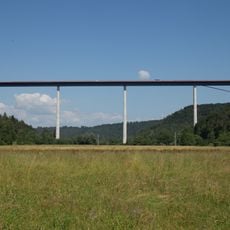
The district connects to neighboring regions including Rastatt, Calw, Tübingen, Zollernalb, Rottweil, and Ortenau through an integrated transportation network. Traveling between the various municipalities within and beyond the district is facilitated by these regional transport links.

Did you know?

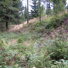
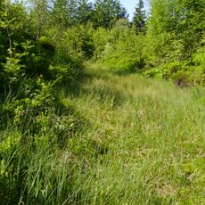
The Neckar River winds through the southeastern part of the district, shaping the landscape of this region. Elevation varies across the territory, reaching up to 645 meters above sea level in the higher areas.

Capital city
Freudenstadt
Elevation above the sea
645 m
Shares border with
Calw District, Tübingen, Zollernalbkreis, Rottweil, Ortenau, Rastatt district
GPS coordinates
48.50000,8.42000
Latest update
December 17, 2025 08:37

AroundUs brings together thousands of curated places, local tips, and hidden gems, enriched daily by 60,000 contributors worldwide. Discover all places nearby (Karlsruhe Government Region).

« Freudenstadt - Administrative district in Baden-Württemberg, Germany » is provided by Around Us (aroundus.com). Images and texts are derived from Wikimedia project under a Creative Commons license. You are allowed to copy, distribute, and modify copies of this page, under the conditions set by the license, as long as this note is clearly visible.

Discover hidden gems everywhere you go!

From secret cafés to breathtaking viewpoints, skip the crowded tourist spots and find places that match your style. Our app makes it easy with voice search, smart filtering, route optimization, and insider tips from travelers worldwide. Download now for the complete mobile experience.

Around Us App Screenshot

A unique approach to discovering new places

Le Figaro

All the places worth exploring

France Info

A tailor-made excursion in just a few clicks

20 Minutes

Around Us
Travel Guide & Maps
Download

Send to your phone

QR Code
1

Open the camera app on your mobile.

2

Point at the QR code with your camera. A notification will appear.

3

Tap the notification to open the link.