Baiersbronn, Municipality in Baden-Württemberg, Germany
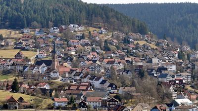
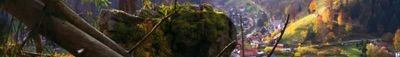
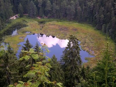
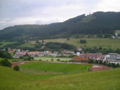
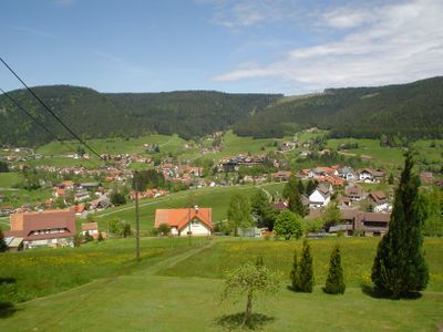
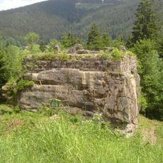
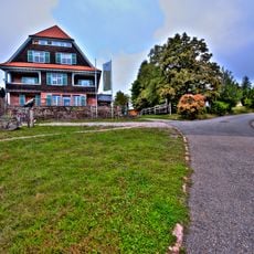
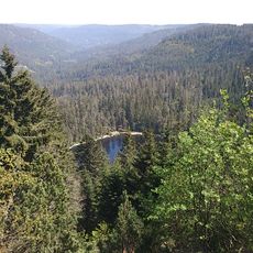
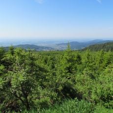
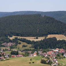
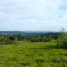
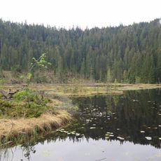
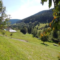
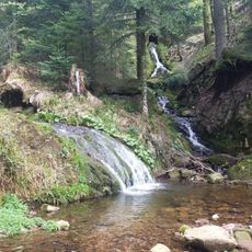
Baiersbronn is a large mountain municipality in the Black Forest that spreads over wooded hills and several villages along the Murg valley. The settlements sit between meadows and dense conifer forest with scattered farms and restaurants near the forest edge.
Several smaller settlements merged into one municipality in the 1970s after existing separately for centuries. The union followed local government reforms in Baden-Württemberg after World War II.
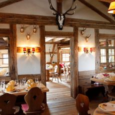
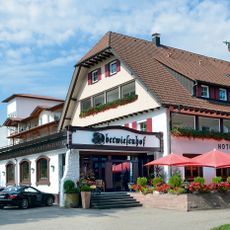
The area is known for fine dining with several award-winning restaurants where chefs work with regional ingredients from the forest and surrounding land. Guests often visit specifically for the food culture and the way Black Forest tradition meets modern cooking techniques.
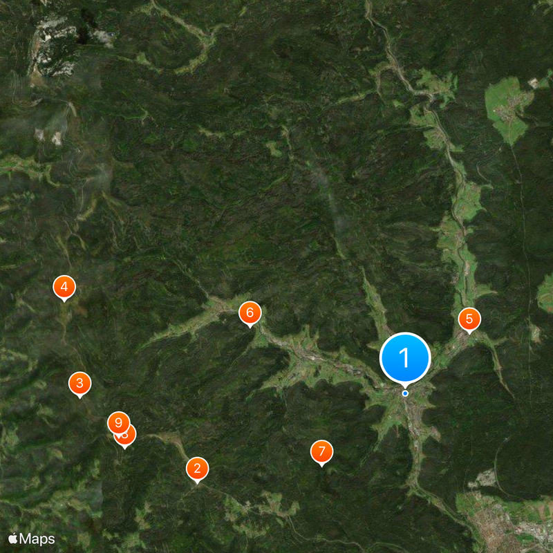
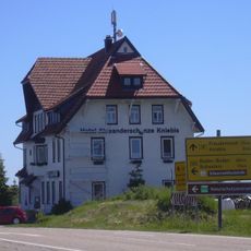
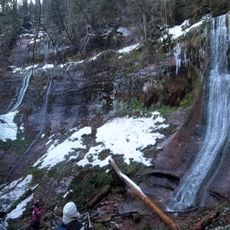
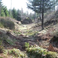
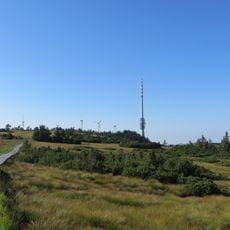
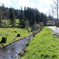
Hiking trails run through the forests and connect the villages while signs at crossroads and parking areas help with orientation. The municipality is accessible by several approach roads from different directions.
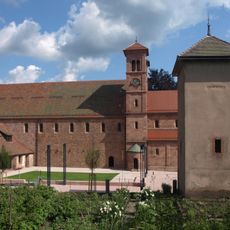
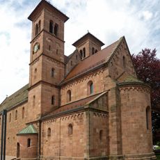
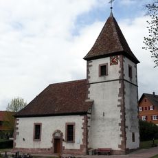
In Klosterreichenbach stands an old Benedictine monastery from the Middle Ages with Romanesque architecture and preserved stone walls. The grounds can be explored on foot and show building styles from past centuries.
The community of curious travelers
AroundUs brings together thousands of curated places, local tips, and hidden gems, enriched daily by 60,000 contributors worldwide.