Enable Location

We need your location to show you interesting places around you

Discover nearby places

Find interesting locations and hidden gems around you

Precise directions

Get accurate directions and distances to places

Your location is never shared with other users. It's only used when you tap the location button.

Log in to your account

Start exploring — it's free

Trusted by 63,227 travelers worldwide

Continue with Google
Continue with Apple
or

We will send you a code to connect

By continuing, you accept our Terms and Conditions and our Privacy Policy

Check your inbox

We've sent a pincode in your inbox. Please enter the code below.

Lothar Path
Discussion Reviews Photo
8.4k Popularity

Lothar Path, Educational forest trail in Black Forest National Park, Germany

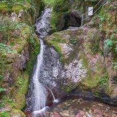
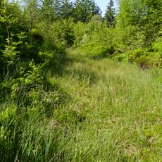
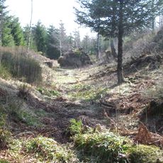
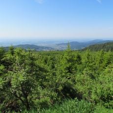
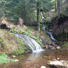
The Lothar Path is an 800-meter walking route through a protected forest area in Black Forest National Park, with wooden bridges and walkways that cross over fallen trees and natural obstacles. The trail was created to show visitors how the forest has changed since a major storm.

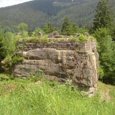
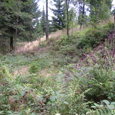
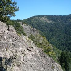
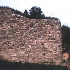
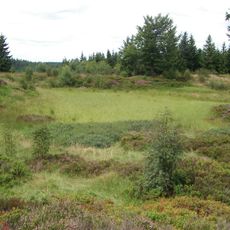
The area was severely damaged by Storm Lothar on December 26, 1999, destroying about 30 million cubic meters of timber. The path documents the restoration of this forest area and shows how nature has renewed itself.

The path is used by both locals and visitors to understand how a forest recovers and grows back after major damage. Information boards at several points explain nature's healing process and show which plants and animals are emerging in this area.

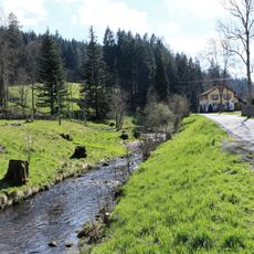
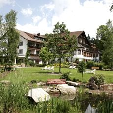
The route is accessible year-round and can be reached from the Black Forest High Road between Oppenau and Baiersbronn. Parking is available, and clear signs help visitors find and follow the path.

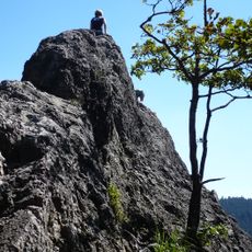
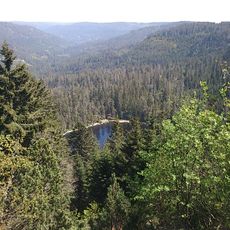
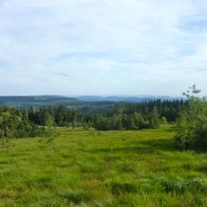
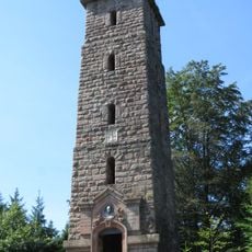
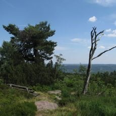
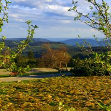
An observation platform along the route offers views reaching the Alps on clear days, while the Vosges and Strasbourg are closer by. This long-distance view is surprising for a location in the middle of a forest area.

The community of curious travelers

AroundUs brings together thousands of curated places, local tips, and hidden gems, enriched daily by 60,000 contributors worldwide.

Start exploring
GPS coordinates
48.50600,8.22230
Latest update
December 8, 2025 19:58
Reviews
Share your experience

No review yet

Discussions
Start a discussion...

No discussion yet

« Lothar Path - Educational forest trail in Black Forest National Park, Germany » is provided by Around Us (aroundus.com). Images and texts are derived from Wikimedia project under a Creative Commons license. You are allowed to copy, distribute, and modify copies of this page, under the conditions set by the license, as long as this note is clearly visible.

Discover hidden gems everywhere you go!

From secret cafés to breathtaking viewpoints, skip the crowded tourist spots and find places that match your style. Our app makes it easy with voice search, smart filtering, route optimization, and insider tips from travelers worldwide. Download now for the complete mobile experience.

Around Us App Screenshot

A unique approach to discovering new places

Le Figaro

All the places worth exploring

France Info

A tailor-made excursion in just a few clicks

20 Minutes

Around Us
Travel Guide & Maps
Download

Send to your phone

QR Code
1

Open the camera app on your mobile.

2

Point at the QR code with your camera. A notification will appear.

3

Tap the notification to open the link.