Waldachtal, municipality in Germany
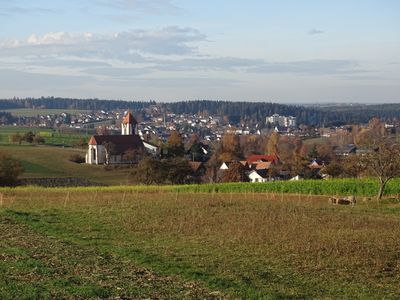
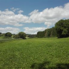
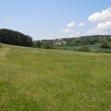
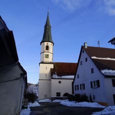
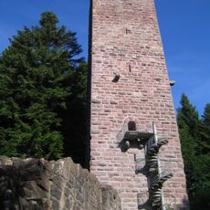
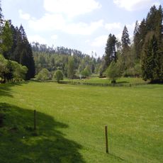
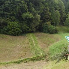
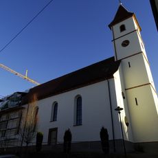
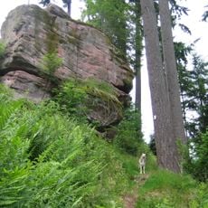
Waldachtal is a small municipality in the northern Black Forest region of Baden-Württemberg formed in 1974 from five merged communities. The landscape features gentle hills covered with coniferous forests, traditional farmhouses with sloped roofs, and a valley shaped by the Waldbach stream.
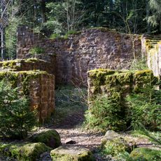
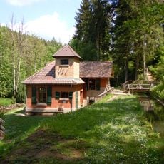
Waldachtal was established in 1974 when five separate communities merged: Cresbach, Hörschweiler, Lützenhardt, Salzstetten, and Tumlingen. The region has deep roots in farming and woodworking traditions, with the historical Mönchhof sawmill in Vesperweiler serving as a reminder of the area's working heritage.
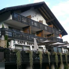
The name Waldachtal refers to the valley of the Waldbach stream that runs through the region. Local traditions of woodworking and farming remain visible in how residents live and in the small businesses and farms that still operate in the area.
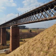
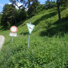
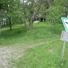
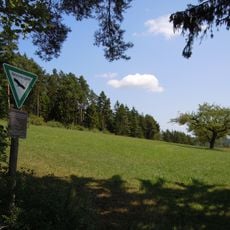
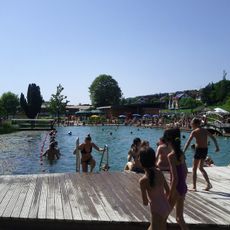
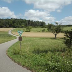
Situated at elevations between 550 and 700 meters (1,800 to 2,300 feet), the area offers a mild climate suitable for outdoor activities throughout the year. A network of well-marked hiking and cycling trails winds through the forests, with most routes being relatively flat and easy to navigate.
The area is home to Fischertechnik GmbH, a company that manufactures construction toy systems recognized worldwide. This small rural community surprisingly hosts an international business known for engineering and innovation.
The community of curious travelers
AroundUs brings together thousands of curated places, local tips, and hidden gems, enriched daily by 60,000 contributors worldwide.