Freudenstadt, District capital in Black Forest, Germany
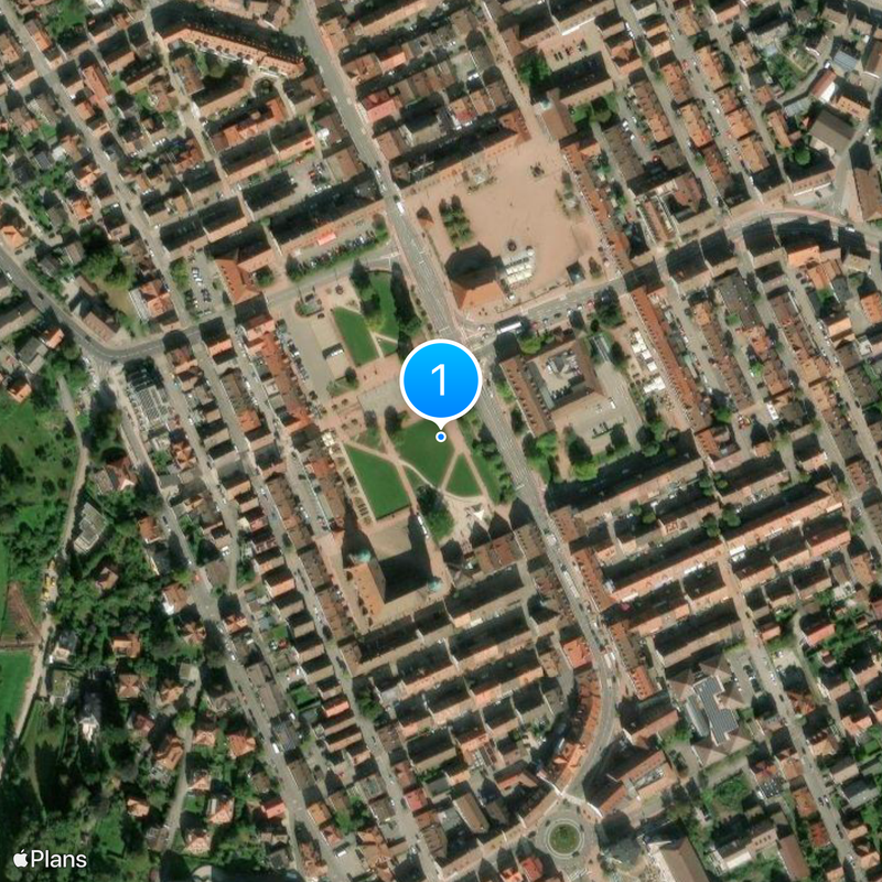
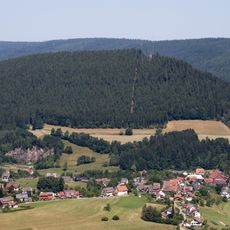
Freudenstadt is a district capital in the northern Black Forest, located on a high plateau above several valleys. The square market place covers four hectares (10 acres) and is framed by arcades housing shops and cafés.
Duke Friedrich I of Württemberg founded the settlement in the late 16th century as a planned Renaissance city for Protestant refugees from Austria. The layout followed a strict geometric scheme of nine by nine blocks, with the central square serving as both religious and civic center.
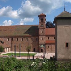
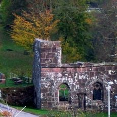
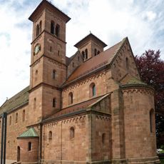
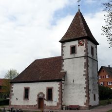
The Protestant town church follows an L-shaped plan rare in German-speaking regions, with two wings meeting at a right angle and the altar placed at the corner. Visitors enter directly from the market square and notice how the benches face the central angle where preaching and communion happen together.
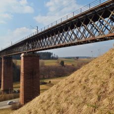
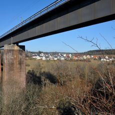
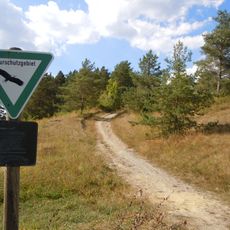
Three railway lines connect the town to Stuttgart, Karlsruhe, and Offenburg and allow day trips into surrounding valleys and ridges of the Black Forest. Streets in the center run at right angles to each other, making it easy to find your way between the market square and lookout points.
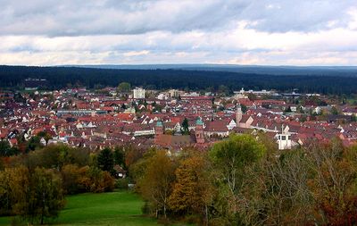
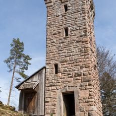
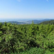
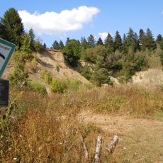
The Friedrichsturm tower on Kienberg hill offers a panoramic view of three valleys and was built for the 300th anniversary of the town's founding. Visitors reach the observation platform by a narrow spiral staircase and can spot the Vosges mountains on the horizon in clear weather.
The community of curious travelers
AroundUs brings together thousands of curated places, local tips, and hidden gems, enriched daily by 60,000 contributors worldwide.