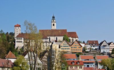
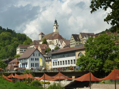
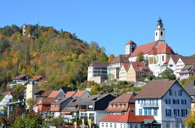
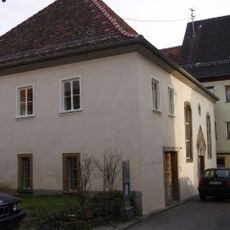
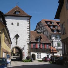
Horb am Neckar, Medieval town center in Baden-Württemberg, Germany
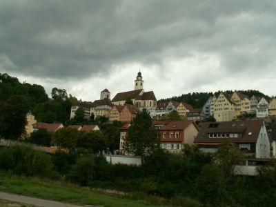
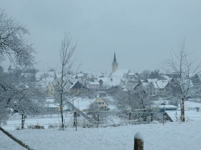
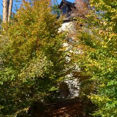
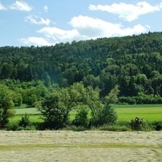
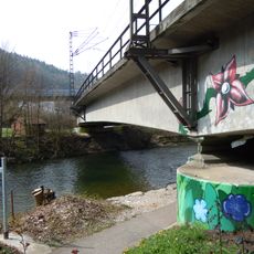
Horb am Neckar is a medieval riverside town in Baden-Württemberg that spreads along the Neckar River and is surrounded by hills and forests at 437 meters elevation. The town comprises 18 associated villages and districts, making it the largest settlement in the Freudenstadt administrative region.
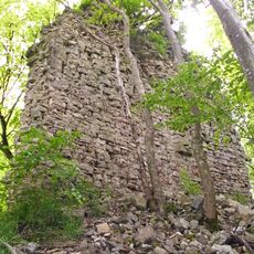
The town was first documented in 1090 and received official town status in 1228, establishing its municipal rights. Later, the region came under the Kingdom of Württemberg's control, which shaped its political development for centuries.
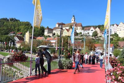
The town celebrates its medieval heritage through regular events, including a Renaissance fair that draws residents and visitors to gather in the historic marketplace.
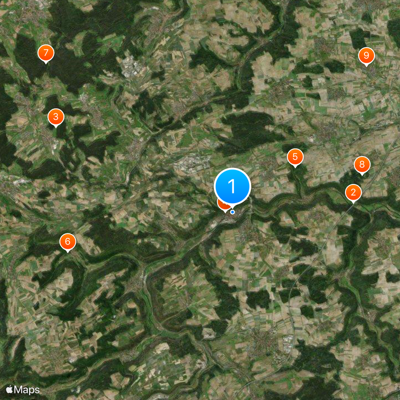
The town sits on a scenic river bend and is easily accessible by public transport. The central riverside location makes walking exploration straightforward, with the old town and river serving as natural orientation points.
The town's coat of arms displays a divided shield with silver and red halves, symbolizing historical connections to the counts palatine and the Hohenberg family. These symbols appear throughout the townscape and tell the story of past ruling powers in the region.
Location: Freudenstadt
Location: Horb am Neckar VVG
Elevation above the sea: 437 m
Website: https://horb.de
GPS coordinates: 48.44479,8.69148
Latest update: December 14, 2025 19:43
Neckar Viaduct, Weitingen
5.5 kmSchwabswiesen
8.9 km
Schurkenturm
339 m
Ruine Eutingen
3.5 km
Burgruine Hohendießen
7.7 km
Burg Rüdenberg
10.9 km
Ruine Urnburg
6.1 km
Synagoge Baisingen
9.1 km
Oberes Neckartal
5.2 km
Ruine Frundeck
6 km
Naturschutzgebiet Dießener Tal und Seitentäler
8.7 kmMönchhof-Sägemühle
10.6 km
Luziferturm
373 m
Kugler Hang
379 mBurgstelle Isenburg
3 km
Pfahljochbrücke Neckarhausen
6.3 km
Steinerner Geschichtsgarten der Stadt Horb am Neckar
396 m
Berthold-Auerbach-Museum
1.2 kmSüdhänge des Neckartales, Berghänge des Haugenloches, Alte Bildechinger Steige, Altheimer Tal und angrenzende Hochflächen
1.3 kmWallfahrtskirche Heiligenbronn
9.4 km
Ruine Unterdettingen
4.8 kmBurg Ahldorf
5.6 km
Synagogue (Rexingen)
3.2 km
Eisenbahnbrücke Horb am Neckar
250 m
Jüdischer Friedhof Mühringen
5.6 km
Viereckschanze Bildechingen
3.8 km
Jüdischer Friedhof
1.3 km
Burg Neckarhausen
6.1 kmVisited this place? Tap the stars to rate it and share your experience / photos with the community! Try now! You can cancel it anytime.
Discover hidden gems everywhere you go!
From secret cafés to breathtaking viewpoints, skip the crowded tourist spots and find places that match your style. Our app makes it easy with voice search, smart filtering, route optimization, and insider tips from travelers worldwide. Download now for the complete mobile experience.
A unique approach to discovering new places❞
— Le Figaro
All the places worth exploring❞
— France Info
A tailor-made excursion in just a few clicks❞
— 20 Minutes