
Kadelburger Lauffen - Wutachmündung, protected landscape area in Baden-Württemberg, Germany
Location: Waldshut
Inception: 1993
GPS coordinates: 47.61520,8.24841
Latest update: March 20, 2025 04:36
Reuenthal Fortress museum
3.7 km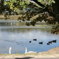
Klingnauer Stausee
3.7 km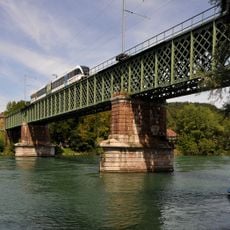
Railroad viaduct Koblenz-Waldshut
1.3 km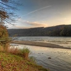
Koblenzer Laufen
986 m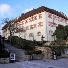
Schloss Tiengen
2.8 km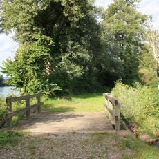
Judenäule
517 m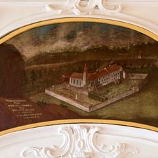
Kloster Sion
3.7 km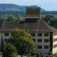
Klingnau Castle
3.8 km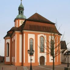
Pfarrkirche St. Maria Himmelfahrt
3 km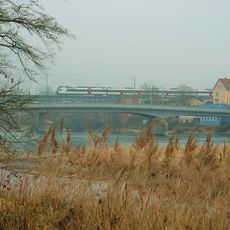
Strassenbrücke Waldshut–Koblenz
1.4 km
Kapuzinerkloster Waldshut
3.1 km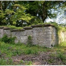
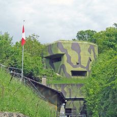
Kleiner Laufen, part of the late Roman Rhine fortifications
509 m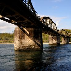
Railroad viaduct Koblenz-Felsenau
2.8 km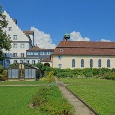
Schloss Gurtweil
3 km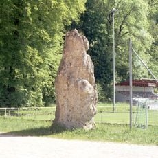
Tiengen Chindlistein
2.4 km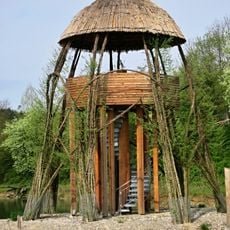
Chly Rhy Auen
2 km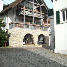
Ölmühle Tiengen
3.1 km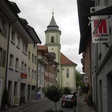
Liebfrauenkirche Waldshut
2.7 km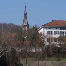
Christuskirche
2.7 km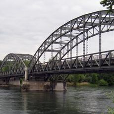
Aarebrücke Koblenz-Felsenau
2.2 km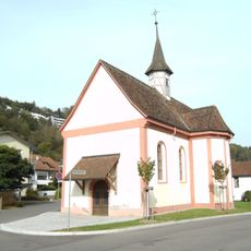
Heilig-Kreuz-Kapelle (Tiengen)
3.4 km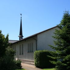
Reformierte Kirche Koblenz
1.5 km
Chly Rhy
1.9 km
Eibenkopf
3.8 km
Kadelburger Lauffen-Wutachmündung
1 km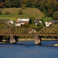
Railroad viaduct Koblenz-Felsenau
2.8 km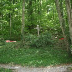
Imperial Gottesacker
2.8 km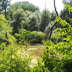
Giriz
2.7 kmReviews
Visited this place? Tap the stars to rate it and share your experience / photos with the community! Try now! You can cancel it anytime.
Discover hidden gems everywhere you go!
From secret cafés to breathtaking viewpoints, skip the crowded tourist spots and find places that match your style. Our app makes it easy with voice search, smart filtering, route optimization, and insider tips from travelers worldwide. Download now for the complete mobile experience.

A unique approach to discovering new places❞
— Le Figaro
All the places worth exploring❞
— France Info
A tailor-made excursion in just a few clicks❞
— 20 Minutes