
Kandertal, protected landscape area in Baden-Württemberg, Germany
Location: Lörrach
Inception: 1938
GPS coordinates: 47.65120,7.63126
Latest update: June 12, 2025 11:17
Grüttpark Lörrach
3.9 km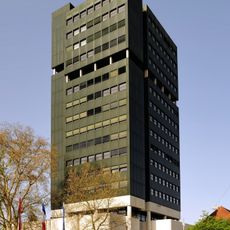
New City hall Lörrach
4.7 km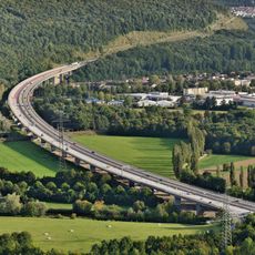
Wiesentalbrücke
4.2 km
Evangelische Kirche Mappach
4.3 km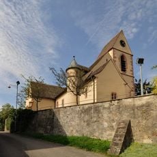
Röttler Kirche
3 km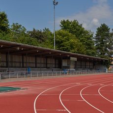
Grüttpark-Stadion
3.6 km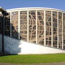
St. Peter
3.9 km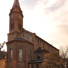
Bonifatiuskirche
4.6 km
Burg Hammerstein
4.6 km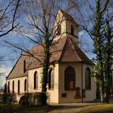
St. Georg (Weil am Rhein)
4.2 km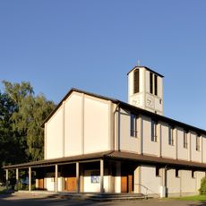
Christuskirche
4.3 km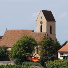
St. Gallus
3.3 km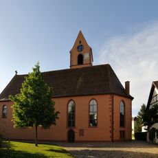
Evangelische Kirche (Kirchen)
4.7 km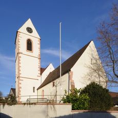
Protestant church Fischingen
2.6 km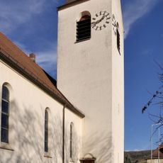
Church St. Maria (Weil am Rhein)
4.6 km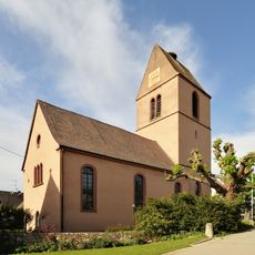
Evangelische Kirche (Egringen)
3 km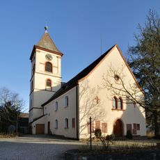
Protestant Church Wollbach
2.7 km
Binzener Schlösschen
2.4 km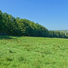
Rümminger Moos
2 km
Protestant Church Holzen
4.7 km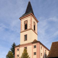
St. Michael
1.5 km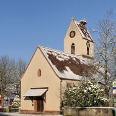
Evangelical Church
4.6 km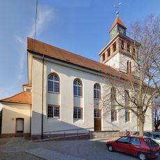
Church Saint Laurentius Binzen
2.3 km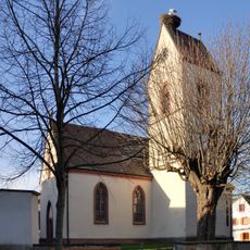
Protestant church Eimeldingen
3.4 km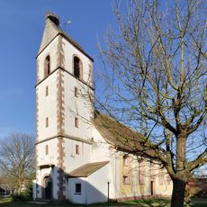
Protestant Church Schallbach
719 m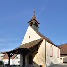
Protestant church Rümmingen
1.4 km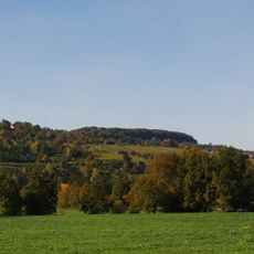
Tüllinger Berg und Tongrube Rümmingen
4.3 km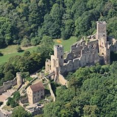
Schloß Rötteln und Umgebung
2.9 kmReviews
Visited this place? Tap the stars to rate it and share your experience / photos with the community! Try now! You can cancel it anytime.
Discover hidden gems everywhere you go!
From secret cafés to breathtaking viewpoints, skip the crowded tourist spots and find places that match your style. Our app makes it easy with voice search, smart filtering, route optimization, and insider tips from travelers worldwide. Download now for the complete mobile experience.

A unique approach to discovering new places❞
— Le Figaro
All the places worth exploring❞
— France Info
A tailor-made excursion in just a few clicks❞
— 20 Minutes