
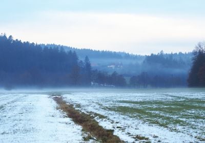
Rottal zwischen Hüttenbühl und Buchengehren, nature reserve in Baden-Württemberg, Germany
Location: Alfdorf
Inception: 2003
GPS coordinates: 48.87670,9.70669
Latest update: March 11, 2025 14:43
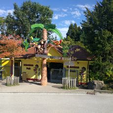
Schwaben Park
4.6 km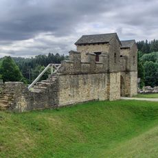
Welzheim East Roman Fort
4.8 km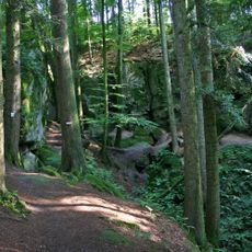
Hägeles- und Brunnenklinge
5.5 km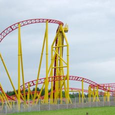
Force One
4.8 km
Leinecksee
3.6 km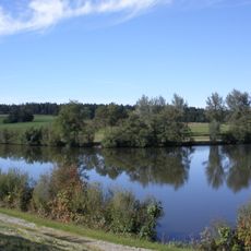
Hochwasserrückhaltebecken Aichstrut
5.7 km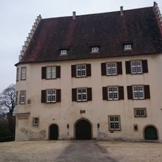
Unteres Schloss
4.1 km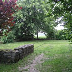
Castellum of Rötelsee
5.4 km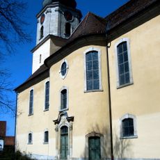
Stephanuskirche
3.9 km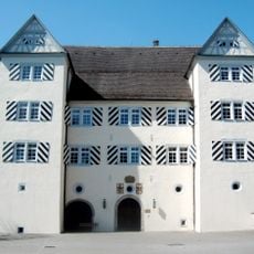
Oberes Schloss
3.8 km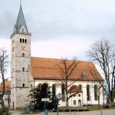
St. Gallus (Welzheim)
5.3 km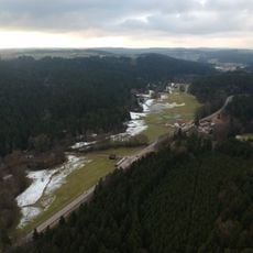
Leintal zwischen Leinecksee und Leinhäusle
2.5 km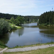
Welzheimer Wald
3.9 km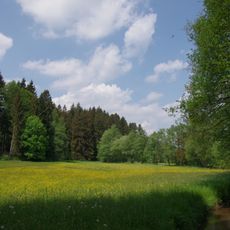
Wiesentäler bei der Menzlesmühle
5.2 km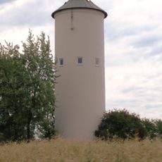
Wasserturm Nardenheim
4.1 km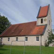
Evangelische Kirche
3.5 km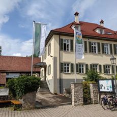
Städtisches Museum Welzheim
5.4 km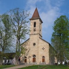
Saint Cyriacus Church
5.4 km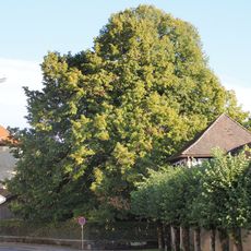
Alte Linde beim Unteren Schloß
4 km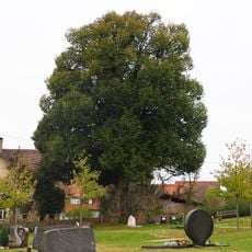
1 Linde im Friedhof
4.2 km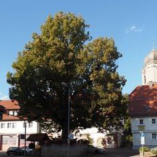
Dorflinde
3.9 km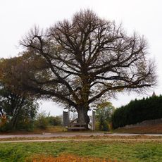
1 Linde am südl.Ortsausgang
4 km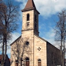
4 Linden, 1 Ulme bei der Kirche
5.4 km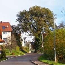
1 Eiche in Zimmerbach
5.4 km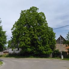
Linde im Döllenhof
2.5 km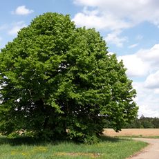
Alte Linde
2.1 km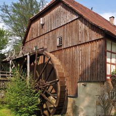
Meuschenmühle
2.9 km
Kastell Welzheim West
5.5 kmVisited this place? Tap the stars to rate it and share your experience / photos with the community! Try now! You can cancel it anytime.
Discover hidden gems everywhere you go!
From secret cafés to breathtaking viewpoints, skip the crowded tourist spots and find places that match your style. Our app makes it easy with voice search, smart filtering, route optimization, and insider tips from travelers worldwide. Download now for the complete mobile experience.

A unique approach to discovering new places❞
— Le Figaro
All the places worth exploring❞
— France Info
A tailor-made excursion in just a few clicks❞
— 20 Minutes