
LSG-Mayknapp, protected area in Germany
Location: Ascheberg
Inception: 2002
GPS coordinates: 51.72626,7.67488
Latest update: June 2, 2025 21:07
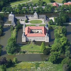
Westerwinkel Castle
2.7 km
Haus Ermelinghof
7.2 km
Haus Itlingen
4.3 km
Haus Venne
5.4 km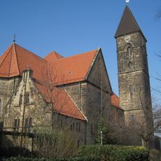
St. Stephanus (Bockum-Hövel)
5.3 km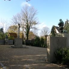
Gedenkstätte Zeche Radbod
6.7 km
St. Christophorus (Werne)
7.5 km
Kreuzkirche (Bockum-Hövel)
6.9 km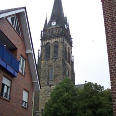
St. Lambertus
8 km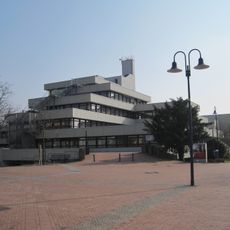
Rathaus Bockum-Hövel
6.9 km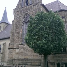
Saint Dionysius Church
5.7 km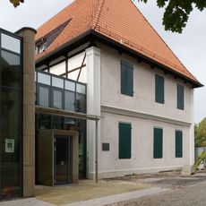
Karl-Pollender-Stadtmuseum
7.5 km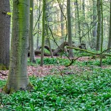
Ichterloh
6 km
Haus Beckedorf
2.3 km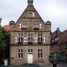
Steinhaus Werne
7.5 km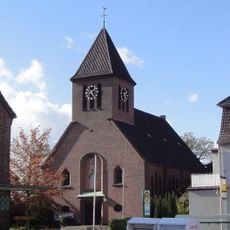
Katholische Filialkirche Herz Jesu
6 km
Christus König (Bockum-Hövel)
7.3 km
St. Georg
6.8 km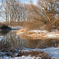
Tibaum
6.9 km
Haus Ichterloh
6.3 km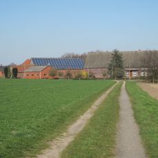
Haus Hardenberg
2.1 km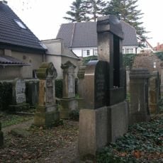
Jüdischer Friedhof Werne
7.8 km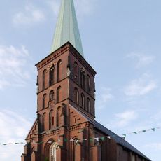
St. Pankratius
6.5 km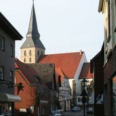
St. Benedikt (Herbern)
1.9 km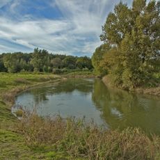
Lippeaue von Stockum bis Werne
7.8 km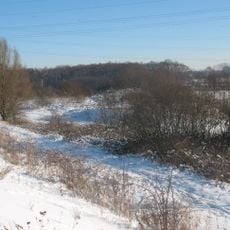
Brauck und Eckernkamp
7.4 km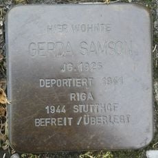
Stolperstein dedicated to Gerda Samson
1.8 km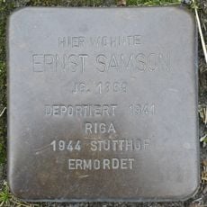
Stolperstein dedicated to Ernst Samson
1.8 kmReviews
Visited this place? Tap the stars to rate it and share your experience / photos with the community! Try now! You can cancel it anytime.
Discover hidden gems everywhere you go!
From secret cafés to breathtaking viewpoints, skip the crowded tourist spots and find places that match your style. Our app makes it easy with voice search, smart filtering, route optimization, and insider tips from travelers worldwide. Download now for the complete mobile experience.

A unique approach to discovering new places❞
— Le Figaro
All the places worth exploring❞
— France Info
A tailor-made excursion in just a few clicks❞
— 20 Minutes