
Weseker Mark, Landschaftsschutzgebiet in Nordrhein-Westfalen
Location: Borken
Inception: 1972
GPS coordinates: 51.90163,6.88072
Latest update: March 12, 2025 08:06
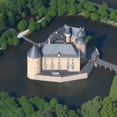
Burg Gemen
4.4 km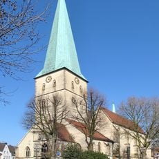
St. Remigius
6.6 km
Kloster Mariengarden
7.1 km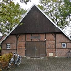
Quellengrundpark
1.6 km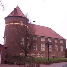
Burg Ramsdorf
3.1 km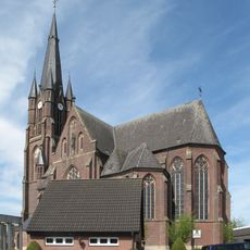
St. Ludgerus
1.8 km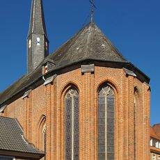
St. Marien
7 km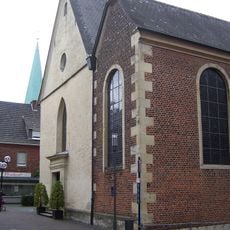
St. Johannes
6.7 km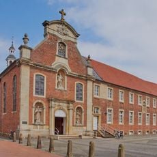
Marienkirche (Borken-Gemen)
4.6 km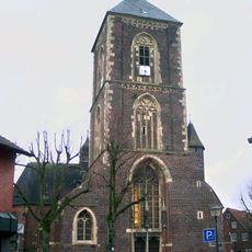
St. Walburga, Ramsdorf
3.1 km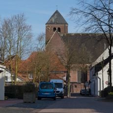
St. Vitus
4.9 km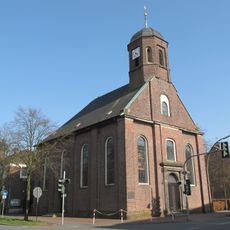
Johanneskirche (Borken-Gemen)
4.8 km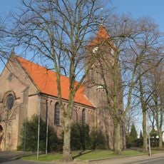
St. Jakobus
6 km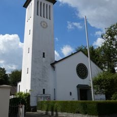
Martin-Luther-Kirche
6.5 km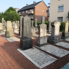
Jüdischer Friedhof Borken, Am Replingsfunder
6.1 km
Heilig-Geist-Kirche (Borken)
6.6 km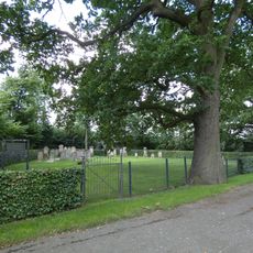
Jüdischer Friedhof
5 km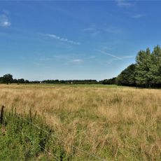
Bietenschlatt
6.3 km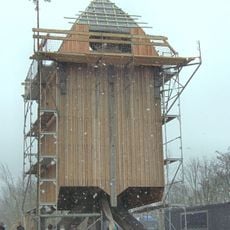
Weseke windmill
1.7 km
Waldvelen / Ramsdorf-Süd / Gemenkrückling / Sternbusch
4.8 km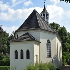
Johanneskirche Südlohn
5.8 km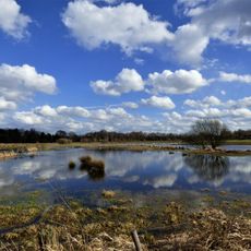
Schönstatt Aue
5.4 km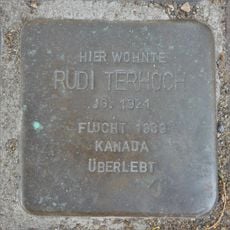
Stolperstein dedicated to Rudi Terhoch
3.1 km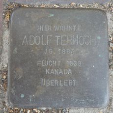
Stolperstein dedicated to Adolf Terhoch
3.1 km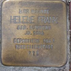
Stolperstein dedicated to Helene Frank
7.2 km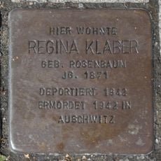
Stolperstein dedicated to Regina Klaber
5.6 km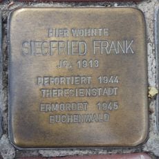
Stolperstein dedicated to Siegfried Frank
7.2 km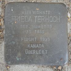
Stolperstein dedicated to Frieda Terhoch
3.1 kmReviews
Visited this place? Tap the stars to rate it and share your experience / photos with the community! Try now! You can cancel it anytime.
Discover hidden gems everywhere you go!
From secret cafés to breathtaking viewpoints, skip the crowded tourist spots and find places that match your style. Our app makes it easy with voice search, smart filtering, route optimization, and insider tips from travelers worldwide. Download now for the complete mobile experience.

A unique approach to discovering new places❞
— Le Figaro
All the places worth exploring❞
— France Info
A tailor-made excursion in just a few clicks❞
— 20 Minutes