
LSG-Waldflächen und Siefen bei Raderhof und Flamerscheid
LSG-Waldflächen und Siefen bei Raderhof und Flamerscheid, protected area in Germany
Location: Leichlingen
Inception: 2005
GPS coordinates: 51.12725,7.11260
Latest update: June 10, 2025 07:54
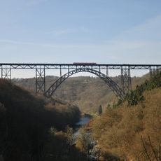
Müngsten Bridge
4 km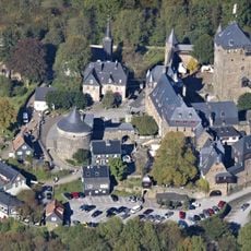
Burg Castle
3 km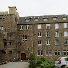
Burg Hohenscheid
1.9 km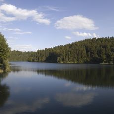
Sengbachtalsperre
1.5 km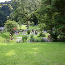
Brückenpark Müngsten
4 km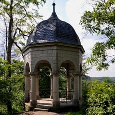
Diederichstempel
2.8 km
Unterburg trolleybus turntable
2.7 km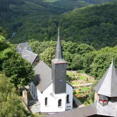
St. Martinus
3 km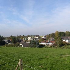
Sender Witzhelden
1.3 km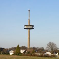
Fernmeldeturm Witzhelden
293 m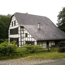
Balkhauser Kotten
1.2 km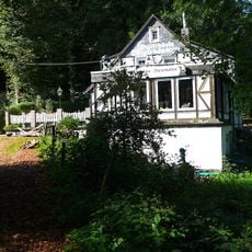
Wiesenkotten
2.8 km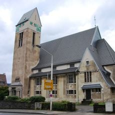
Dorper Kirche Solingen
3.8 km
Haus Kirschheide
4.4 km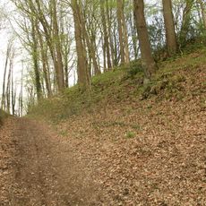
Ringwallanlage Galapa
2.5 km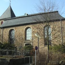
Evangelische Kirche Witzhelden
1.3 km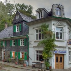
Bruchermühle
3.4 km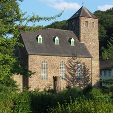
Protestant Church
2.6 km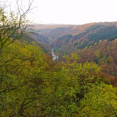
Wupper und Wupperhänge südlich Müngsten
3.8 km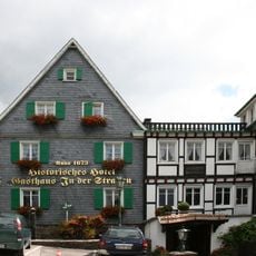
Gasthaus In der Straßen
3.2 km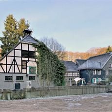
Thielenmühle
4 km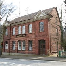
Rathaus Burg an der Wupper
2.7 km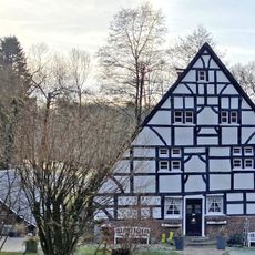
Grünscheider Mühle
3.9 km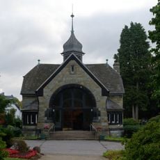
Friedhofskapelle
3.6 km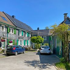
Hofschaft Erf
4 km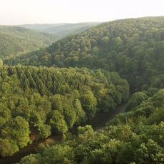
Tal- und Hangbereiche der Wupper mit Seitenbächen
2.4 km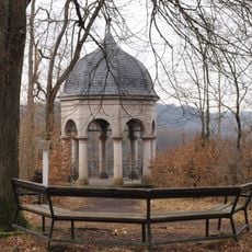
Diederichstempel Burg
2.8 km
LSG Wupperengtal
2.3 kmReviews
Visited this place? Tap the stars to rate it and share your experience / photos with the community! Try now! You can cancel it anytime.
Discover hidden gems everywhere you go!
From secret cafés to breathtaking viewpoints, skip the crowded tourist spots and find places that match your style. Our app makes it easy with voice search, smart filtering, route optimization, and insider tips from travelers worldwide. Download now for the complete mobile experience.

A unique approach to discovering new places❞
— Le Figaro
All the places worth exploring❞
— France Info
A tailor-made excursion in just a few clicks❞
— 20 Minutes