
LSG-Todtenbachtal, protected area in Germany
Location: Rommerskirchen
Inception: 1991
GPS coordinates: 51.02915,6.67429
Latest update: September 2, 2025 18:03
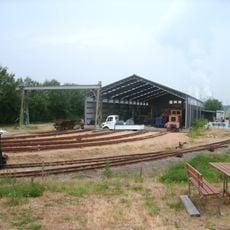
Feldbahnmuseum Oekoven
4 km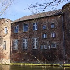
Burg Geretzhoven
2.1 km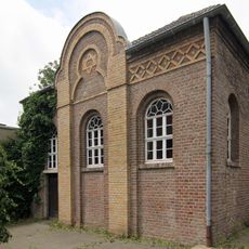
Synagoge Stommeln
6 km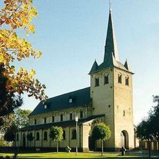
St. Brictius
4 km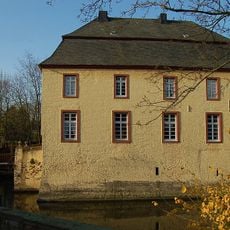
Burg Anstel
4.6 km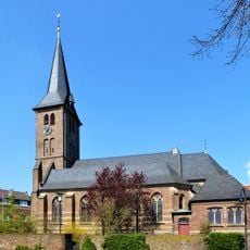
St. Johann Baptist
4.9 km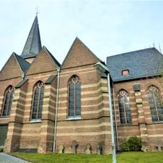
Alt St. Martinus (Stommeln)
5.5 km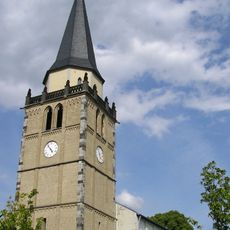
St. Peter
822 m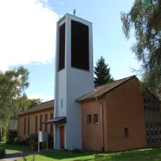
Erlöserkirche Niederaußem
5.4 km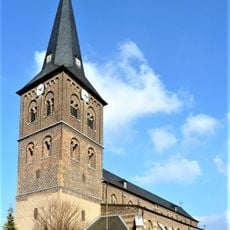
St Martin's Church
3.4 km
St. Luzia (Frauweiler)
4.9 km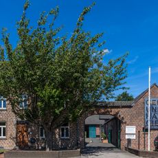
Kulturzentrum Sinsteden
2.2 km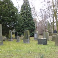
Jüdischer Friedhof Stommeln
6.1 km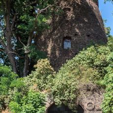
Rath - Rather Mühle
3.3 km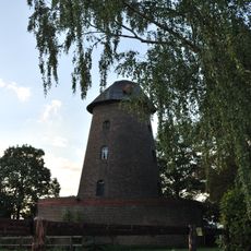
Büsdorfer Mühle
5.4 km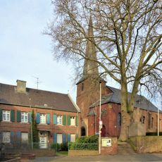
St. Lambertus (Neurath)
5.6 km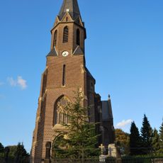
St. Laurentius (Büsdorf)
4.9 km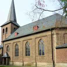
Saint Michael Church (Rheidt-Hüchelhoven)
1.7 km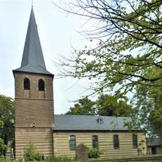
Saint Medard Church (Auenheim, Bergheim)
4.1 km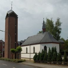
St. Nikolaus (Barrenstein)
5.9 km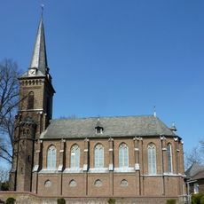
St. Antonius (Evinghoven)
5 km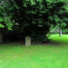
Jüdischer Friedhof
966 m
Sonnenbad
1.4 km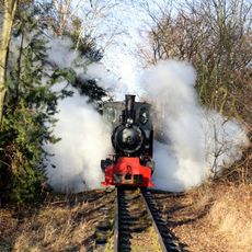
Feldbahnmuseum Oekoven
4 km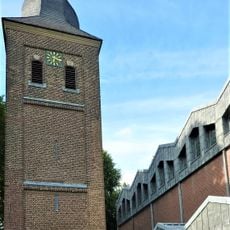
St. Matthäus
5.3 km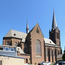
Neu St. Martinus
5.9 km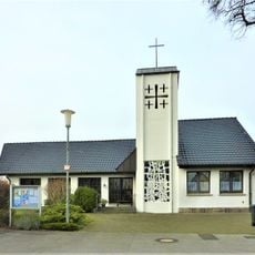
Holy Cross Church, Frixheim
4.2 km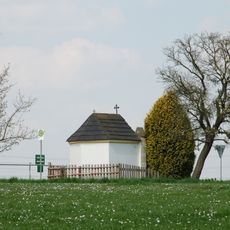
St. Antoniuskapelle Ikoven
5.6 kmReviews
Visited this place? Tap the stars to rate it and share your experience / photos with the community! Try now! You can cancel it anytime.
Discover hidden gems everywhere you go!
From secret cafés to breathtaking viewpoints, skip the crowded tourist spots and find places that match your style. Our app makes it easy with voice search, smart filtering, route optimization, and insider tips from travelers worldwide. Download now for the complete mobile experience.

A unique approach to discovering new places❞
— Le Figaro
All the places worth exploring❞
— France Info
A tailor-made excursion in just a few clicks❞
— 20 Minutes