
LSG-Chorbusch, Pletschbachtal und Umgebung, protected area in Germany
Location: Cologne
Inception: 1991
GPS coordinates: 51.04626,6.81752
Latest update: June 2, 2025 03:45
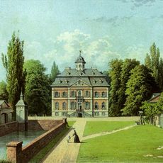
Schloss Arff
549 m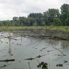
Worringer Bruch
2.9 km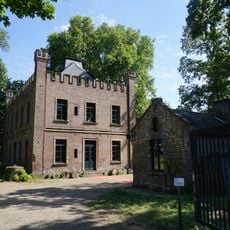
Haus Orr
4.4 km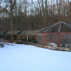
Wildpark Tannenbusch
4.4 km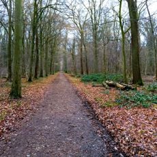
Chorbusch
2 km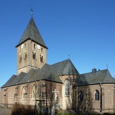
St. Martinus
4.4 km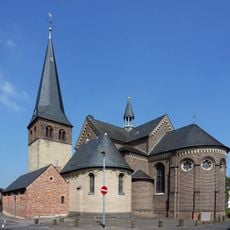
St. Katharina
2.2 km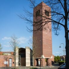
St. Katharina von Siena
4.9 km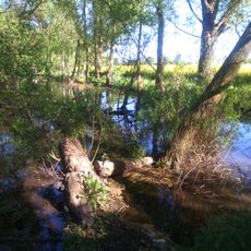
Orrer Wald und Große Laache
5 km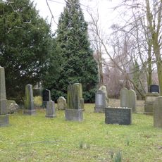
Jüdischer Friedhof Stommeln
4.9 km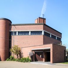
St. Mariä Namen (Köln-Esch)
4.6 km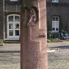
Markstein im Kampf der Kölner Bürger um ihre Unabhängigkeit
3.9 km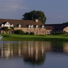
Golf Club Gut Lärchenhof
2.4 km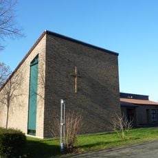
Friedenskirche
2.6 km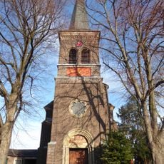
St. Johann Baptist
2.3 km
Landschaftsschutzgebiet Rhein und Rheinauen Worringen bis Merkenich
4.2 km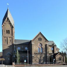
St. Hubertus
2.5 km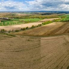
Landschaftsschutzgebiet Pletschbachtal und Waldbereiche um das Wasserwerk Weiler
3.8 km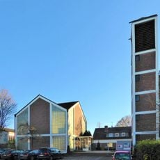
Church of Peace
3.6 km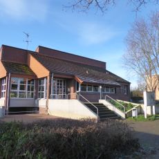
Matthäuskirche (Dormagen-Delhoven)
4.3 km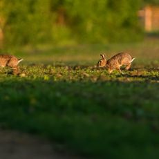
Umgebung Orrer Busch und Große Laache
5 km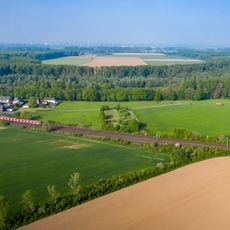
Worringer Bruch
4.1 km
Holy Cross Church
4.6 km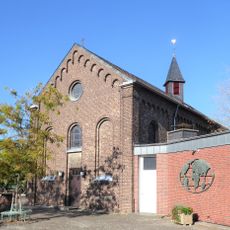
St. Bruno's Church
3.1 km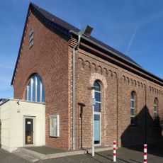
Alt St. Josef (Dormagen-Delhoven)
4.3 km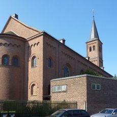
St. Pankratius (Köln-Worringen)
3.9 km
Hackenbroicher Straße 114
3.3 km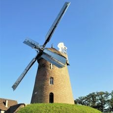
Stommeler Windmühle
4.8 kmReviews
Visited this place? Tap the stars to rate it and share your experience / photos with the community! Try now! You can cancel it anytime.
Discover hidden gems everywhere you go!
From secret cafés to breathtaking viewpoints, skip the crowded tourist spots and find places that match your style. Our app makes it easy with voice search, smart filtering, route optimization, and insider tips from travelers worldwide. Download now for the complete mobile experience.

A unique approach to discovering new places❞
— Le Figaro
All the places worth exploring❞
— France Info
A tailor-made excursion in just a few clicks❞
— 20 Minutes