
LSG-Widdauen <Raumeinheit D>, protected area in Germany
Location: Langenfeld
Inception: 1984
GPS coordinates: 51.08119,6.93849
Latest update: April 5, 2025 02:22
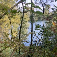
Altabgrabung Klingenberger
1.2 km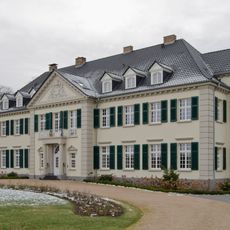
Schloss Laach
1.1 km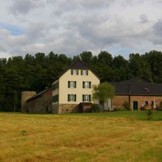
Dückeburg
3 km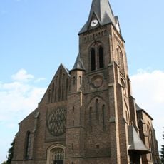
St. Barbara
2.5 km
St. Stephanus
2.7 km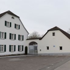
Laacher Hof
1.2 km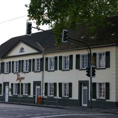
Haus Wagner
2.4 km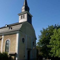
Martin-Luther-Kirche
2.8 km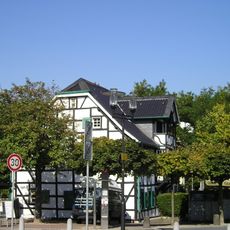
Haus Arndt
3.2 km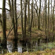
Motte Flachenhof
3.6 km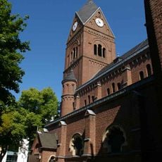
St. Josef
3.4 km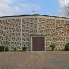
Church of the Holy Cross
2.5 km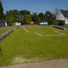
Kirchenwüstung St. Barbara
2.7 km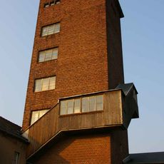
Wasserturm Berghausen
3.4 km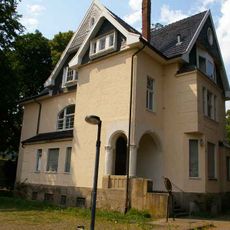
Villa Berger
2.2 km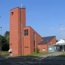
Hoffnungskirche Rheindorf
2.8 km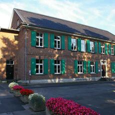
Katholisches Jugendheim
3.4 km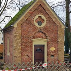
Saint Anthony of Padua Chapel
3 km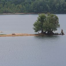
Monheimer Baggersee
2 km
Jewish cemeteries in Monheim am Rhein
3.1 km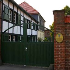
Gut Galkhausen
2.5 km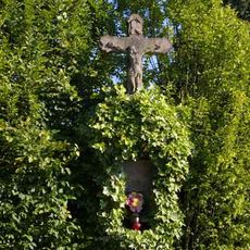
Wegekreuz Virneburg
3.2 km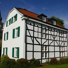
Ehemaliges Pfarrhaus der Martin-Luther-Kirche
2.8 km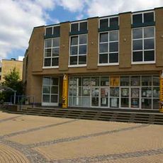
Schauplatz Langenfeld
3.2 km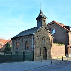
Kapelle am Cohnenhof (Chorweiler-Langel)
3.7 km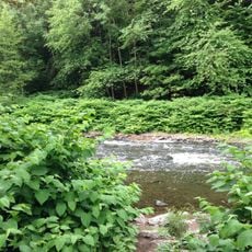
Landschaftsschutzgebiet Unteres Tal der Wupper
3.7 km
Landschaftsschutzgebiet Kaiserbusch/Furth/Hapelrath/Galkhausen/Reusrath/Mittelheide
3.1 km
St. Johannes der Täufer (Monheim am Rhein)
2.9 kmReviews
Visited this place? Tap the stars to rate it and share your experience / photos with the community! Try now! You can cancel it anytime.
Discover hidden gems everywhere you go!
From secret cafés to breathtaking viewpoints, skip the crowded tourist spots and find places that match your style. Our app makes it easy with voice search, smart filtering, route optimization, and insider tips from travelers worldwide. Download now for the complete mobile experience.

A unique approach to discovering new places❞
— Le Figaro
All the places worth exploring❞
— France Info
A tailor-made excursion in just a few clicks❞
— 20 Minutes