Enable Location

We need your location to show you interesting places around you

Discover nearby places

Find interesting locations and hidden gems around you

Precise directions

Get accurate directions and distances to places

Your location is never shared with other users. It's only used when you tap the location button.

Langenfeld

Log in to your account

Start exploring — it's free

Trusted by 62,058 travelers worldwide

Continue with Google
Continue with Apple
or

We will send you a code to connect

By continuing, you accept our Terms and Conditions and our Privacy Policy

Check your inbox

We've sent a pincode in your inbox. Please enter the code below.

Langenfeld, Urban municipality in Mettmann district, Germany.

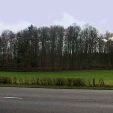
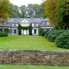
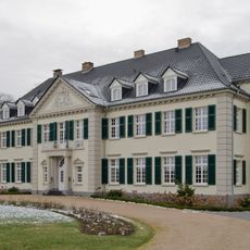
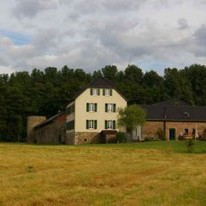
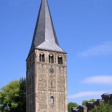
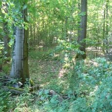
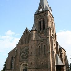
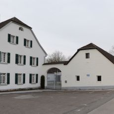
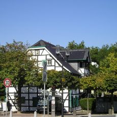
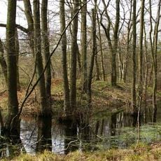
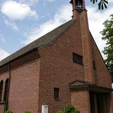
Langenfeld is a medium-sized district town in Mettmann that sits between Düsseldorf and Cologne. The municipal area lies in a flat to gently rolling landscape of the Bergisches Land region, threaded with green spaces and small woodland patches.

In 1948, two localities called Richrath and Reusrath merged and received town status together. The merger created a new administrative unit that later became an independent district town within Mettmann.

The town takes its name from a long field that once stretched between two older villages. This origin remains visible today in the flat layout along main roads, while residential areas follow what used to be field boundaries.

The town sits along highways A3, A59 and A542, and is served by S-Bahn line S6, which offers regular connections to nearby large cities. Many paths across the municipal area work well for walks or bike rides between different parts.

In 2008, the local administration managed to eliminate all municipal debt through long-term financial planning and tax rate adjustments. The town was at that time one of the few debt-free municipalities in North Rhine-Westphalia.

The community of curious travelers

AroundUs brings together thousands of curated places, local tips, and hidden gems, enriched daily by 60,000 contributors worldwide.

Start exploring
Location
Elevation above the sea
55 m
Shares border with
Düsseldorf, Solingen
GPS coordinates
51.11667,6.95000
Latest update
December 13, 2025 17:06
« Langenfeld - Urban municipality in Mettmann district, Germany » is provided by Around Us (aroundus.com). Images and texts are derived from Wikimedia project under a Creative Commons license. You are allowed to copy, distribute, and modify copies of this page, under the conditions set by the license, as long as this note is clearly visible.

Discover hidden gems everywhere you go!

From secret cafés to breathtaking viewpoints, skip the crowded tourist spots and find places that match your style. Our app makes it easy with voice search, smart filtering, route optimization, and insider tips from travelers worldwide. Download now for the complete mobile experience.

Around Us App Screenshot

A unique approach to discovering new places

Le Figaro

All the places worth exploring

France Info

A tailor-made excursion in just a few clicks

20 Minutes

Around Us
Travel Guide & Maps
Download

Send to your phone

QR Code
1

Open the camera app on your mobile.

2

Point at the QR code with your camera. A notification will appear.

3

Tap the notification to open the link.