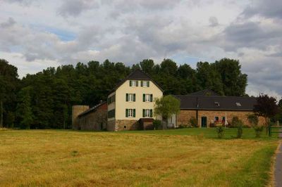
Dückeburg, Water castle in Langenfeld, Germany.
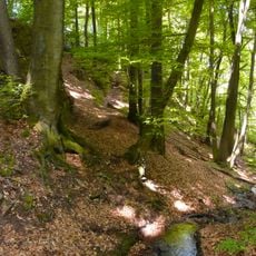
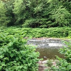
Dückeburg is a fortified castle with water features surrounding its walls in Langenfeld, North Rhine-Westphalia. Moats and waterways form an integral part of the defensive design, creating a distinctive silhouette across the landscape.
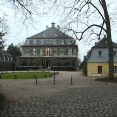
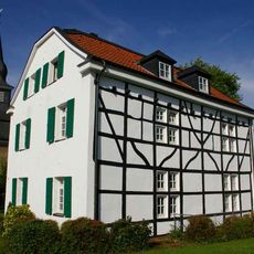
The castle was built in medieval times as a fortified residence and designed with water defenses from the start. It remained in use and ownership across the centuries, though its military purpose eventually faded while it served as a family home.
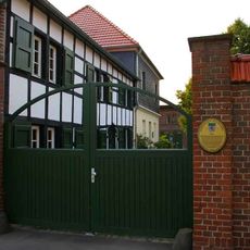
The castle served as a residence for a noble family for centuries and remains a landmark in the local area. You can observe how the buildings and grounds were arranged to display wealth and authority in a way that impressed both family members and visitors.
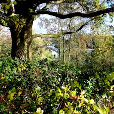
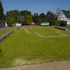
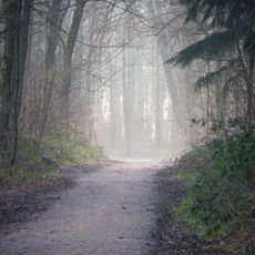
The grounds are best explored on foot, with pathways that offer views of the water defenses and the castle structure. The surrounding area is open and accessible for walking and observing the site from different angles without special equipment or arrangements.
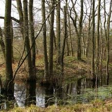
The water features surrounding the castle are fed by natural water sources and streams rather than being purely artificial constructions. This approach to defense shows how medieval builders adapted their engineering to work with the local landscape.
The community of curious travelers
AroundUs brings together thousands of curated places, local tips, and hidden gems, enriched daily by 60,000 contributors worldwide.