
Bergehalde Emil-Mayrisch, protected landscape in Germany
Location: Baesweiler
Inception: 1985
GPS coordinates: 50.92654,6.22369
Latest update: September 24, 2025 09:22
Deutschordenskommende Siersdorf
3 km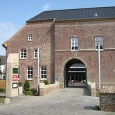
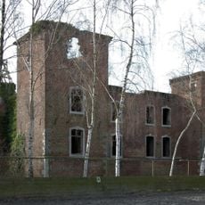
Burg Baesweiler
3.5 km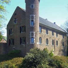
Burg Dürboslar
3.3 km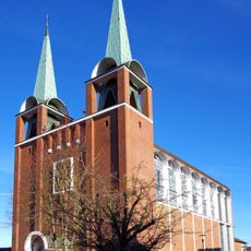
Pfarrkirche St. Martin (Aldenhoven)
5.4 km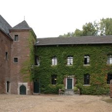
Burg Engelsdorf
5.4 km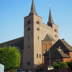
St. Petrus
3.7 km
St. Andreas
1.5 km
St. Peter
4.7 km
St. Mauritius
2 km
Saint John the Baptist Church (Siersdorf)
3 km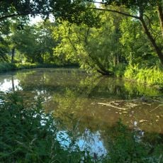
Kellenberger Kamp
5.8 km
Setterich Castle
1.5 km
Grace Chapel
5.4 km
Hubertushof
5 km
St. Gereon
3.8 km
St. Pankratius
2.7 km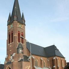
St. Ursula
3.3 km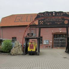
Museum Bergmannshaus
5.5 km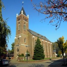
Saint Pancratius Church (Beggendorf)
4.1 km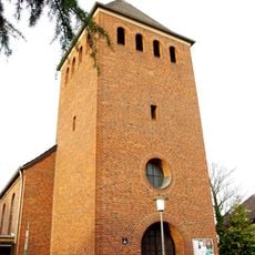
St. Hermann Josef
5.6 km
Jüdischer Friedhof
1.2 km
St. Nikolaus
4.9 km
St. Laurentius
1.6 km
Jüdischer Friedhof
5.7 km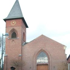
St. Willibrord
2.5 km
St. Lambertus
4.5 km
St. Pankratius
5.6 km
Bergsenkungsgebiet Bettendorfer Fließ
3.8 kmReviews
Visited this place? Tap the stars to rate it and share your experience / photos with the community! Try now! You can cancel it anytime.
Discover hidden gems everywhere you go!
From secret cafés to breathtaking viewpoints, skip the crowded tourist spots and find places that match your style. Our app makes it easy with voice search, smart filtering, route optimization, and insider tips from travelers worldwide. Download now for the complete mobile experience.

A unique approach to discovering new places❞
— Le Figaro
All the places worth exploring❞
— France Info
A tailor-made excursion in just a few clicks❞
— 20 Minutes