
LSG-Rurtal suedlich der Autobahn A 44, protected area in Germany
Location: Jülich
Location: Inden
Location: Düren
Location: Niederzier
Inception: 1984
GPS coordinates: 50.86577,6.41491
Latest update: June 11, 2025 03:12
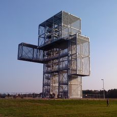
Indemann
3.8 km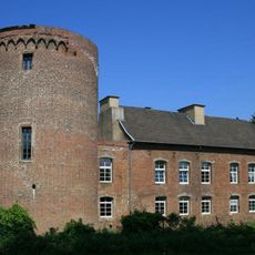
Schloss Hambach
4.2 km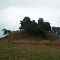
Motte Altenburg
3.5 km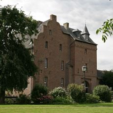
Burg Obbendorf
4 km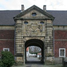
Gut Müllenark
1.3 km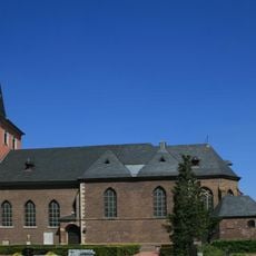
St. Cäcilia
4.1 km
Haus Verken
1.1 km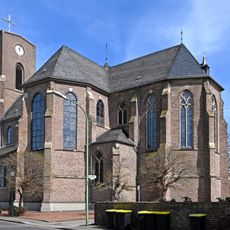
Saint Michael Church (Echtz)
4.5 km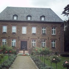
Burg Niederzier
3.9 km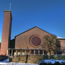
Immaculate Conception Church
1.2 km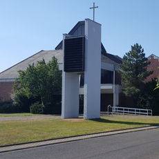
Herz-Jesu-Kirche
4.3 km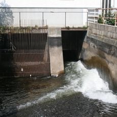
Lendersdorfer Mühlenteich
1.7 km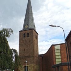
Saint Peter Church (Merken)
2.3 km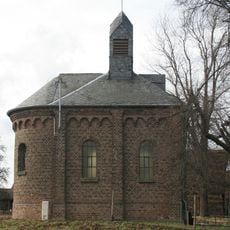
Regina Pacis Chapel
3.5 km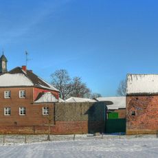
Haus Pesch
932 m
Heimatmuseum Haus Horn
3.9 km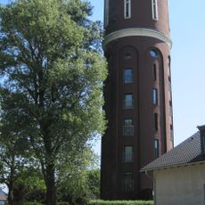
Merken water tower
2 km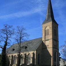
St. Stephanus (Selgersdorf)
2.6 km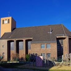
St. Nikolaus
3.6 km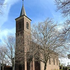
Saint Barbara Church (Schophoven)
1.8 km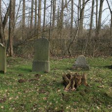
Jewish cemetery, Pier
227 m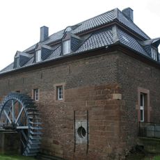
Müllenarker Mühle
1.4 km
Paulstraße 71
2.3 km
Paulstraße 50
2.3 km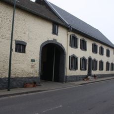
Roermonder Straße 74
2.4 km
Peterstraße 77
2.2 km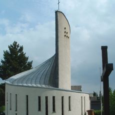
Marienkapelle Selhausen
1.5 km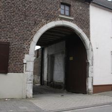
Blausteintorbogen Peterstraße 4
2.4 kmReviews
Visited this place? Tap the stars to rate it and share your experience / photos with the community! Try now! You can cancel it anytime.
Discover hidden gems everywhere you go!
From secret cafés to breathtaking viewpoints, skip the crowded tourist spots and find places that match your style. Our app makes it easy with voice search, smart filtering, route optimization, and insider tips from travelers worldwide. Download now for the complete mobile experience.

A unique approach to discovering new places❞
— Le Figaro
All the places worth exploring❞
— France Info
A tailor-made excursion in just a few clicks❞
— 20 Minutes