
Werseniederung, ehemaliges Landschaftsschutzgebiet in Nordrhein-Westfalen
Location: Sendenhorst
Inception: August 12, 1971
GPS coordinates: 51.89573,7.71936
Latest update: June 27, 2025 03:52
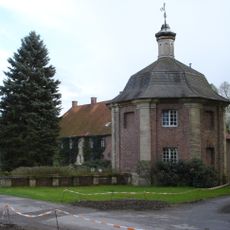
Haus Luetkenbeck
6.7 km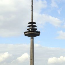
Fernmeldeturm Münster
7.1 km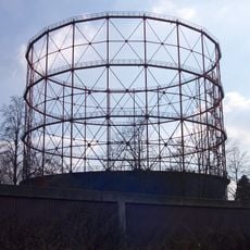
Gasometers in Münster
7.2 km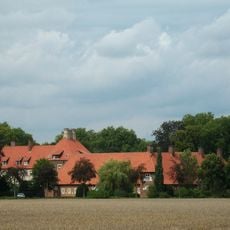
Haus Borg
6.8 km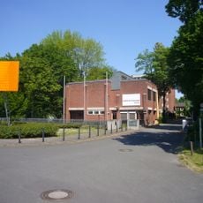
Institut der Feuerwehr Nordrhein-Westfalen
7.8 km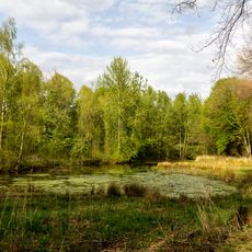
Wolbecker Tiergarten
2 km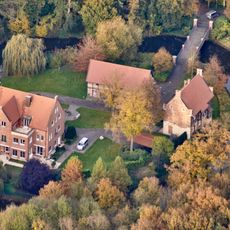
Haus Bisping
6.9 km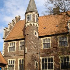
Drostenhof Wolbeck
2.4 km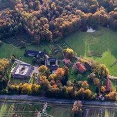
Haus Heidhorn
5.2 km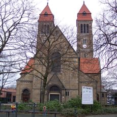
St. Clemens
5.4 km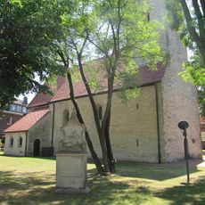
Alt St. Clemens
5.9 km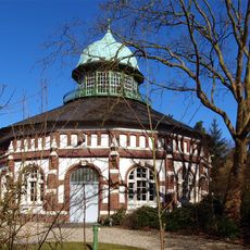
Wasserwerk Hohe Ward
3.1 km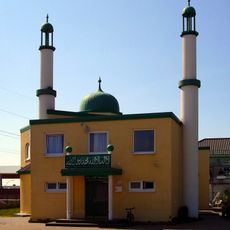
Bait ul-Momin
6.1 km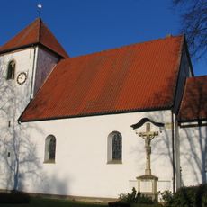
St. Agatha
3.3 km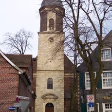
St. Pankratius, Drensteinfurt
6 km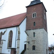
St. Nikolaus
2.6 km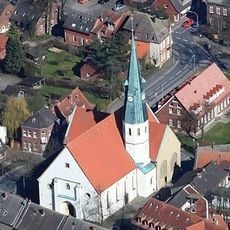
St. Ludgerus
3.2 km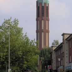
St. Margareta
6.9 km
Auferstehungskirche
7.3 km
Christuskirche
4.9 km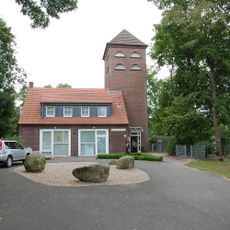
Hiltruper Museum
5.6 km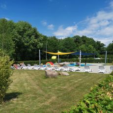
Freibad Stapelskotten
6.1 km
Auwald Stapelskotten
6.3 km
Bonnenkamp
2.3 km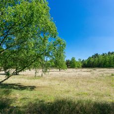
Hohe Ward
3.1 km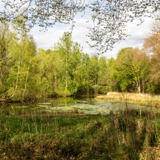
Teppes Viertel
2.4 km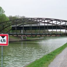
Prinz-Brücke Nr. 66
4.5 km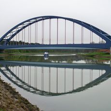
Bahnbrückenanlage Hiltrup Nr. 65N
4.1 kmReviews
Visited this place? Tap the stars to rate it and share your experience / photos with the community! Try now! You can cancel it anytime.
Discover hidden gems everywhere you go!
From secret cafés to breathtaking viewpoints, skip the crowded tourist spots and find places that match your style. Our app makes it easy with voice search, smart filtering, route optimization, and insider tips from travelers worldwide. Download now for the complete mobile experience.

A unique approach to discovering new places❞
— Le Figaro
All the places worth exploring❞
— France Info
A tailor-made excursion in just a few clicks❞
— 20 Minutes