
LSG-Spellener Duenen, protected area in Germany
Location: Voerde
Inception: 2009
GPS coordinates: 51.60551,6.62422
Latest update: April 12, 2025 22:00
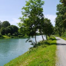
Wesel–Datteln Canal
4.5 km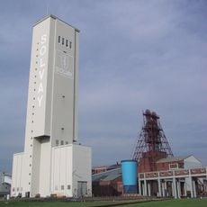
Salzbergwerk Borth
5.2 km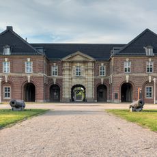
Wesel citadel
5.1 km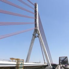
Niederrheinbrücke Wesel
4.7 km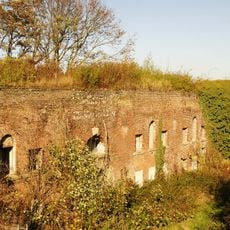
Fort Blücher
4.6 km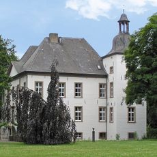
Haus Voerde
3.5 km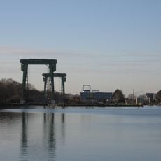
Schleuse Friedrichsfeld
2.7 km
LVR-Niederrheinmuseum Wesel
5.2 km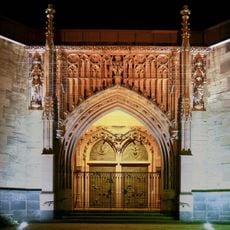
Church of the Assumption
5.7 km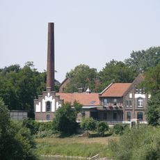
Altes Wasserwerk Wesel
5.4 km
Fort Fusternberg
5.4 km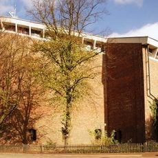
Friedenskirche zu den Heiligen Engeln
5.4 km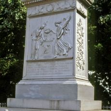
Schill-Denkmal
5 km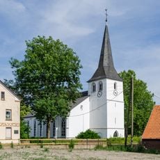
Evangelische Kirche Götterswickerhamm
3.8 km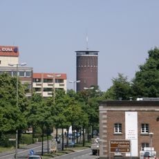
Wasserturm Wesel
5.7 km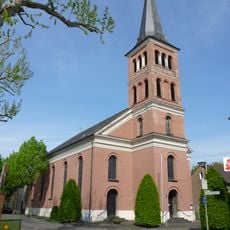
Saint Peter Church
4 km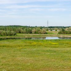
Rheinvorland im Orsoyer Rheinbogen
4.2 km
Rheinvorland östlich von Wallach
2.9 km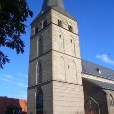
St. Peter (Spellen)
886 m
Bahnhof Möllen (Niederrhein)
5.6 km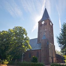
Evermarus Church
4.8 km
Rheinvorland nördlich der Ossenberger Schleuse
3.9 km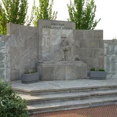
Kriegerdenkmal
4.2 km
Forschungsrevier im Orsoyer Rheinbogen
5.2 km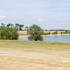
LSG-Rheinvorland an der Momm und Rheinauenwald
3.4 km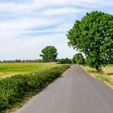
LSG-Orsoyer Rheinbogen und Eversael
5.6 km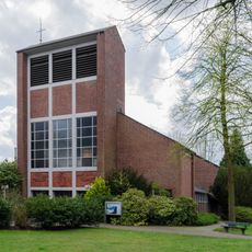
Church of the Assumption, Ossenberg
5.1 km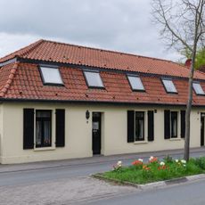
Graf-Luitpold-Straße 6-8
4.8 kmReviews
Visited this place? Tap the stars to rate it and share your experience / photos with the community! Try now! You can cancel it anytime.
Discover hidden gems everywhere you go!
From secret cafés to breathtaking viewpoints, skip the crowded tourist spots and find places that match your style. Our app makes it easy with voice search, smart filtering, route optimization, and insider tips from travelers worldwide. Download now for the complete mobile experience.

A unique approach to discovering new places❞
— Le Figaro
All the places worth exploring❞
— France Info
A tailor-made excursion in just a few clicks❞
— 20 Minutes