
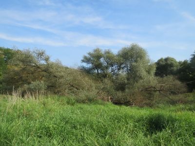
Tabakmühlental - Oberster Weiher, protected area in Germany
Location: Saarbrücken
Inception: 1976
GPS coordinates: 49.21417,6.99027
Latest update: March 11, 2025 01:49
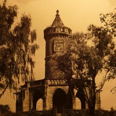
Winterbergdenkmal
1.1 km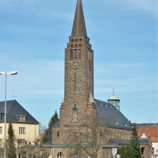
Christkönig-Kirche
1.5 km
Christoph 16
987 m
Villa Obenauer
1.6 km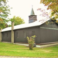
Notkirche Saarbrücken
1.1 km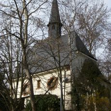
Kapelle am Triller
1.6 km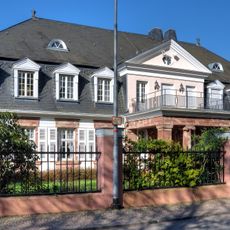
Weinbergweg 6
578 m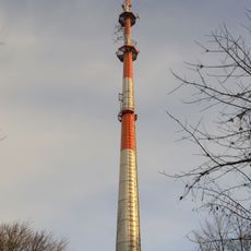
Sender Saarbrücken-Winterberg
1.2 km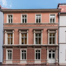
Villa Korn
1.5 km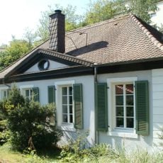
Maltitz-Pavillon
1.5 km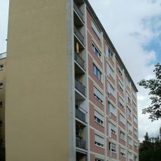
Frauenwohnheim Saarbrücken
1.5 km
Nußberger Hof
1.2 km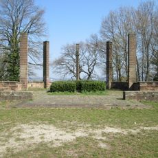
Nußberg-Denkmal
1.3 km
Willi Graf Memorial
910 m
Nussberg
1.3 km
40er Grab
1.1 km
Wayside cross
646 m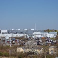
Industriegebiet Süd
1.1 km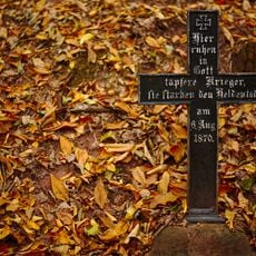
Grave 8.6.1870
955 m
Denkmal der 48er
1.5 km
Bruno von François Memorial
1.5 km
Landschaftsschutzgebiet Stiftswald Und Felsenwege St. Arnual
1.5 km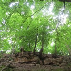
Winterberg
925 m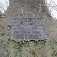
Denkmal Lohmeyerstraße
1.2 km
Boundary stone 1876 / 17
1.1 km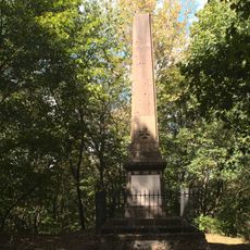
Denkmal der 74er
1.5 km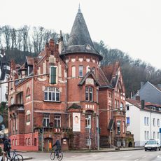
Feldmannstraße 1/3
1.3 km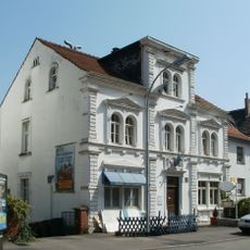
Saargemünder Straße 11
1.4 kmReviews
Visited this place? Tap the stars to rate it and share your experience / photos with the community! Try now! You can cancel it anytime.
Discover hidden gems everywhere you go!
From secret cafés to breathtaking viewpoints, skip the crowded tourist spots and find places that match your style. Our app makes it easy with voice search, smart filtering, route optimization, and insider tips from travelers worldwide. Download now for the complete mobile experience.

A unique approach to discovering new places❞
— Le Figaro
All the places worth exploring❞
— France Info
A tailor-made excursion in just a few clicks❞
— 20 Minutes