
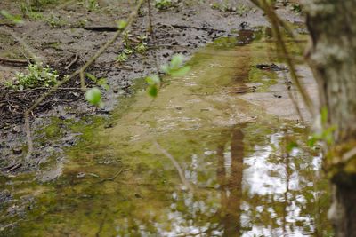
Talzug des Dienststadterweihers, protected area in Germany
Location: Saarbrücken
Inception: 1976
GPS coordinates: 49.22232,6.96523
Latest update: March 7, 2025 05:38
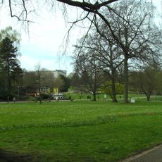
Deutsch-Französischer Garten
344 m
Swimming, sauna and wellness paradise Calypso
1 km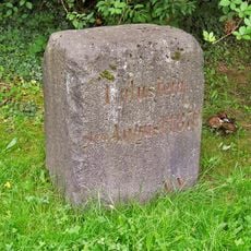
Lulustein
926 m
Deutschherrenkapelle Saarbrücken
1.1 km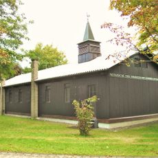
Notkirche Saarbrücken
1.6 km
Hauptfriedhof Saarbrücken
1.4 km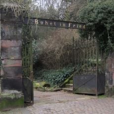
Alter Friedhof
1.2 km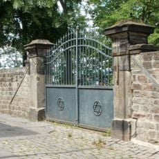
Alter Jüdischer Friedhof
1.2 km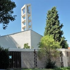
St. Mauritius
967 m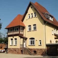
Villa Weismüller, Saarbrücken
1.1 km
Stadtarchiv Saarbrücken
1.6 km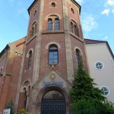
Immanuelkirche (Saarbrücken)
1.7 km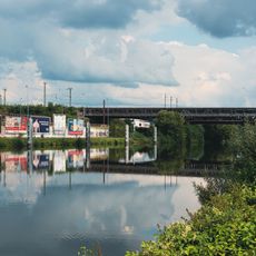
Schanzenbergbrücke
1.3 km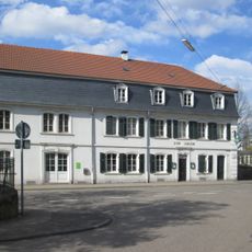
Gasthaus Adler
1.7 km
Heilig Kreuz
347 m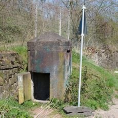
Splitterschutzzelle
1.5 km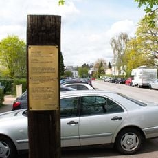
Willi Graf Memorial
1.3 km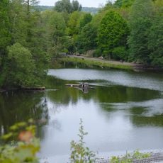
Deutschmühlenweiher mit Mockental, Ehrental und Glockenwäldchen
422 m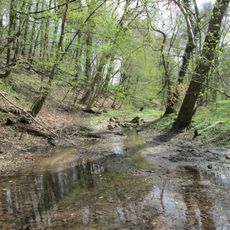
Drahtzugweiher und das Habsterwiesental
1.1 km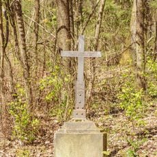
1870er Soldatengrab an der Habsterhöhe
1.1 km
40er Grab
1.6 km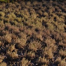
Sonnenheide
370 m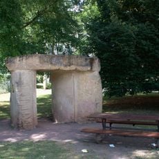
Die Offene Tür
385 m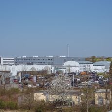
Industriegebiet Süd
1.1 km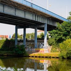
Malstatter Brücke
1.7 km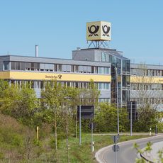
Deutsche Post Niederlassung
984 m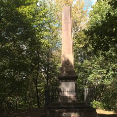
Denkmal der 74er
1.7 km
Obelisk
1.2 kmVisited this place? Tap the stars to rate it and share your experience / photos with the community! Try now! You can cancel it anytime.
Discover hidden gems everywhere you go!
From secret cafés to breathtaking viewpoints, skip the crowded tourist spots and find places that match your style. Our app makes it easy with voice search, smart filtering, route optimization, and insider tips from travelers worldwide. Download now for the complete mobile experience.

A unique approach to discovering new places❞
— Le Figaro
All the places worth exploring❞
— France Info
A tailor-made excursion in just a few clicks❞
— 20 Minutes