
LSG-Landwirtschaftliche Bereiche in Muehlenberg, protected area in Germany
Location: Duisburg
Inception: 2009
GPS coordinates: 51.38858,6.66617
Latest update: March 11, 2025 23:23
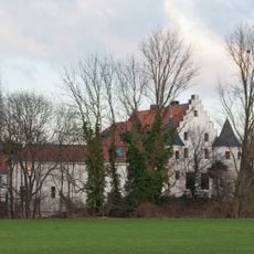
Haus Rath
4.1 km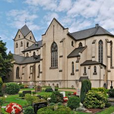
St. Matthias
2 km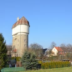
Wasserturm Hohenbudberg
1.6 km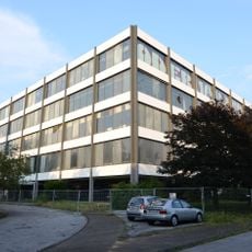
Krupp-Industrietechnik Duisburg office building
4 km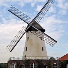
Elfrather Mühle
4 km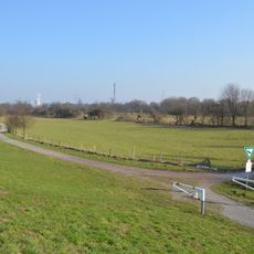
Rheinaue Friemersheim
3.3 km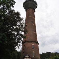
Wasserturm Rheinhausen-Bergheim
2.7 km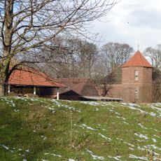
Werthschenhof
2.8 km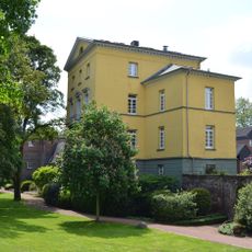
Uerdinger Burg
4.2 km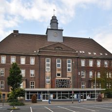
Bezirksamt Rheinhausen
3.5 km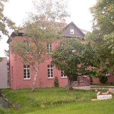
Haus Kaldenhausen
909 m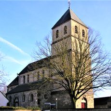
St. Dionysius, Duisburg-Mündelheim
3.9 km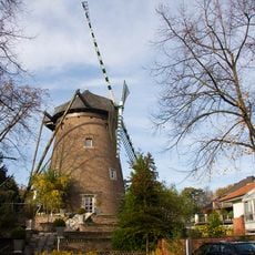
Bussmühle
4.1 km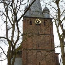
St. Peter
4.1 km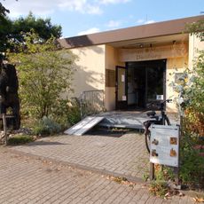
Bienenmuseum Duisburg
1.3 km
Stadtpark Uerdingen
3.5 km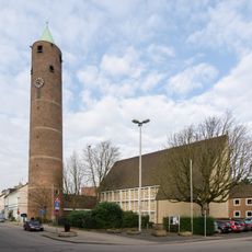
Saint Michael's Church
3.7 km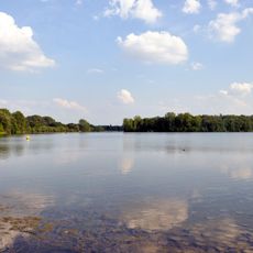
LSG-Toeppersee, Binsenteich, Coelvegraben, Bahnstrassen, Bereiche oestlich der Roemerstrasse in Oestrum, "Auf dem Pickert"
2 km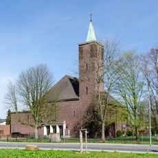
Christ the King Church
2.8 km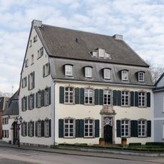
Haus Neuhofs
3.8 km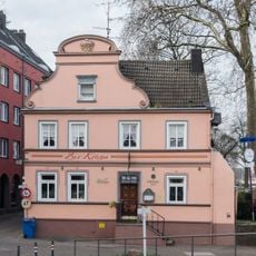
“Zur Krone”
4 km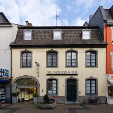
Niederstraße 36, Uerdingen
3.9 km
Rhine Gate
4 km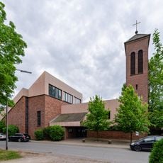
Protestant Church of Schwafheim
3.8 km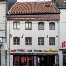
Niederstraße 20, Uerdingen
3.9 km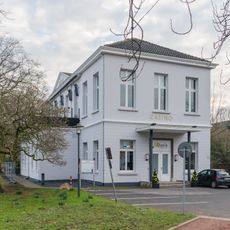
Casino, Uerdingen
4.1 km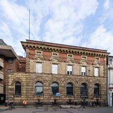
Niederstraße 26, Uerdingen
3.9 km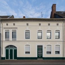
Bruchstraße 18, Uerdingen
3.9 kmReviews
Visited this place? Tap the stars to rate it and share your experience / photos with the community! Try now! You can cancel it anytime.
Discover hidden gems everywhere you go!
From secret cafés to breathtaking viewpoints, skip the crowded tourist spots and find places that match your style. Our app makes it easy with voice search, smart filtering, route optimization, and insider tips from travelers worldwide. Download now for the complete mobile experience.

A unique approach to discovering new places❞
— Le Figaro
All the places worth exploring❞
— France Info
A tailor-made excursion in just a few clicks❞
— 20 Minutes