
LSG-Lintorfer Mark <Raumeinheit B>, protected area in Germany
Location: Ratingen
Inception: 1984
GPS coordinates: 51.35126,6.83853
Latest update: August 20, 2025 19:48
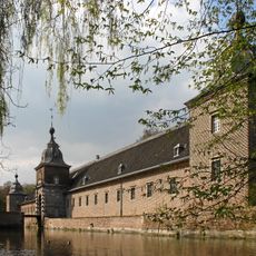
Heltorf Castle
4.8 km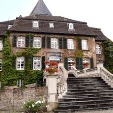
Linnep Castle
2.5 km
Christoph 9
4.8 km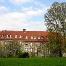
Burg Angermund
3.9 km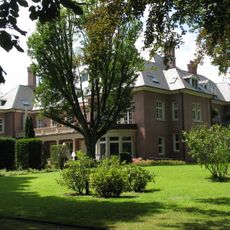
Villa Fritz Thyssen
4.7 km
Upper Silesian Museum
4.6 km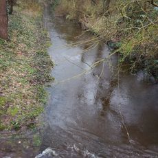
Dickelsbach
2.3 km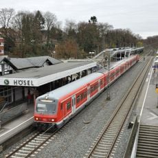
Hösel station
4 km
Stinkesberg
4 km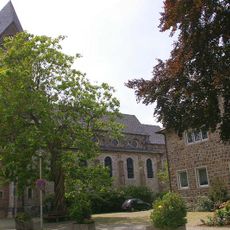
St. Agnes
3.9 km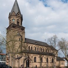
Catholic Church St. Anna, Ratingen Lintorf
2.2 km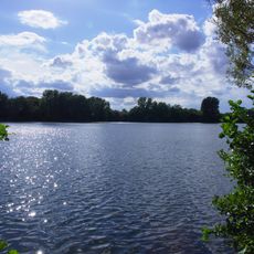
Masurensee
4.7 km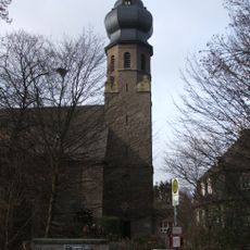
Saint Hubertus Church
3.8 km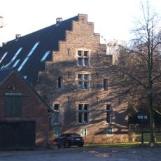
Haus Bilkrath
5.1 km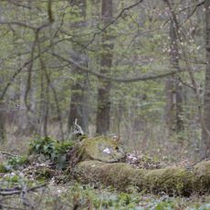
Naturwaldzelle Hinkesforst
3.6 km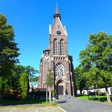
St. Theresia
2.4 km
Helpensteinmühle
2.3 km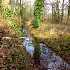
Überanger Mark
3.6 km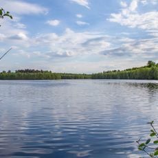
Haubachsee
3.6 km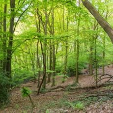
Mintarder Berg
4.6 km
Wambachtal und Oembergmoor
4.2 km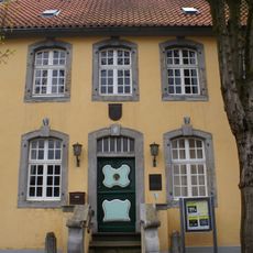
Bürgerhaus Angermund
3.8 km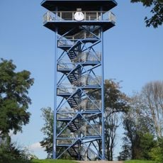
Aussichtsturm Wolfsberg
4 km
Mintarder Ruhrtalhang und Mintarder Berg
4.6 km
Auberg und Oberläufe des Wambaches
4.8 km
Schmitterbachtal
4.4 km
St. Christophorus Church
2 km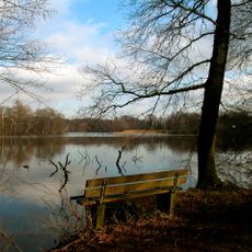
LSG Naherholungsgebiet Entenfang
3.1 kmReviews
Visited this place? Tap the stars to rate it and share your experience / photos with the community! Try now! You can cancel it anytime.
Discover hidden gems everywhere you go!
From secret cafés to breathtaking viewpoints, skip the crowded tourist spots and find places that match your style. Our app makes it easy with voice search, smart filtering, route optimization, and insider tips from travelers worldwide. Download now for the complete mobile experience.

A unique approach to discovering new places❞
— Le Figaro
All the places worth exploring❞
— France Info
A tailor-made excursion in just a few clicks❞
— 20 Minutes