
LSG-Ratinger Stadtwald Sued-West <Raumeinheit B>, protected area in Germany
Location: Ratingen
Inception: 1984
GPS coordinates: 51.32123,6.85917
Latest update: November 14, 2025 14:55
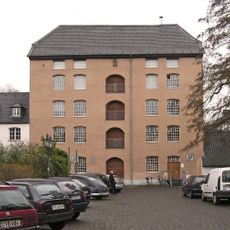
Textilfabrik Cromford
1.7 km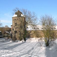
Haus zum Haus
2.2 km
Ratinger Waldsee
2 km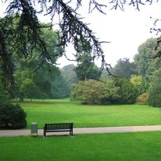
Poensgen Park
1.9 km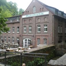
Auermühle
2.2 km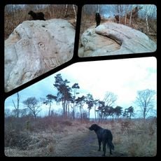
Stinkesberg
704 m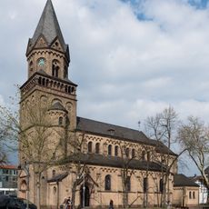
Catholic Church St. Anna, Ratingen Lintorf
2.3 km
Hummelsbach
2.4 km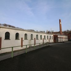
Papierfabrik Bagel
1.9 km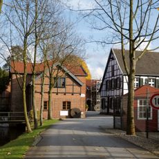
Helpensteinmühle
2.1 km
Hülsen-Berg
701 m
Baulofsbruch
900 m
AWD Museum
2.4 km
Langer Berg
434 m
Angerbad
2.3 km
Herrenhaus Cromford
1.7 km
LSG-Teich und Wald bei Gratenpoet <Raumeinheit B>
2.2 km
Angertal <Raumeinheit B>
2.2 km
Angerbad (Freibad)
2.3 km
Objektive Landschaft - Kartografisches Baumzeichen
1.8 km
Work of art, sculpture
2.1 km
Work of art, sculpture
2.1 km
Work of art
1.9 km
Statue, Work of art
1.9 km
Statue, Work of art
1.8 km
Water well
2.1 km
Wayside cross
1.8 km
Otto Amuel
2 kmReviews
Visited this place? Tap the stars to rate it and share your experience / photos with the community! Try now! You can cancel it anytime.
Discover hidden gems everywhere you go!
From secret cafés to breathtaking viewpoints, skip the crowded tourist spots and find places that match your style. Our app makes it easy with voice search, smart filtering, route optimization, and insider tips from travelers worldwide. Download now for the complete mobile experience.

A unique approach to discovering new places❞
— Le Figaro
All the places worth exploring❞
— France Info
A tailor-made excursion in just a few clicks❞
— 20 Minutes