Ratinger Waldsee, Protected area in Ratingen, Germany
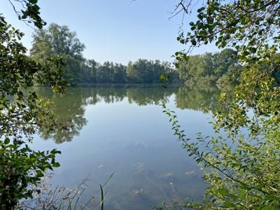
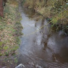
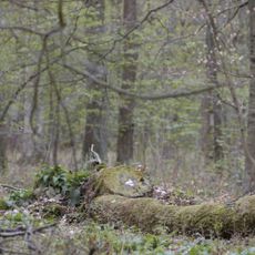
Ratinger Waldsee is a large flooded former gravel pit south of the Breitscheid motorway junction, in the Krummen Weg settlement area of Ratingen. The Hummelbach stream runs along its northern edge, and a spring-fed alder swamp forest lies at the foot of a steep slope on the northeastern side. Narrow, broken reed beds fringe the water in places, with alders, birches and pines on the banks.
The Ratinger Waldsee was designated a nature reserve under the code ME-024 in 1993. It protects a large former excavation lake and the near-natural Hummelsbach stream flowing along its northern edge. The reserve borders the 13-hectare Hummelsbach reserve (ME-007) to the northeast.
The lake's name comes from the Krummen Weg settlement and the surrounding Ratingen forest, and the site is a designated Naturschutzgebiet with the code ME-024. Visitors can look for the yellow flag iris and the greater bladderwort that grow in and around the water, and watch for great crested grebes, which have established a stable breeding population here.
The reserve lies in the triangle formed by the A52, A3 and L139, south of the Breitscheid motorway junction, near the Krummen Weg settlement. There are no marked trails: protection aims to avoid intensive recreational use, so the water and banks are best observed from the surrounding paths.
The lake is a former gravel extraction pit, and its still, grey-green water mirrors the tree line along the far bank. Two broken stumps with jagged branches stand near the centre, while reeds and leafy plants grow at the water's edge. The rough hornwort grows submerged here, and the great crested grebe, the reserve's flagship species, has built a stable breeding population.
The community of curious travelers
AroundUs brings together thousands of curated places, local tips, and hidden gems, enriched daily by 93,098 contributors worldwide.