
Langenhorst <Raumeinheit C>, protected landscape in Germany
Location: Velbert
Inception: 1984
GPS coordinates: 51.35970,7.04766
Latest update: March 19, 2025 11:26
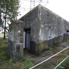
Krupp decoy site
1.5 km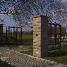
Ruhrlandkaserne
3.5 km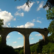
Eulenbachbrücke
2.4 km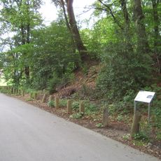
Herrenburg
3.9 km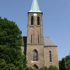
St. Mariä Geburt (Essen)
3.7 km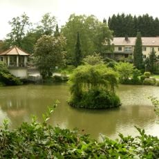
Diakonissen-Mutterhaus Bleibergquelle
3 km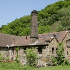
Kupferhammer
3.9 km
Alte Eisenbahnbrücke Baldeneysee
4.1 km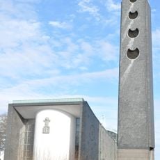
St.-Paulus-Kirche
3.2 km
Vogelschutzgebiet Heisinger Bogen
3.6 km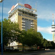
BKS-Hochhaus
3.1 km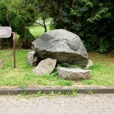
Steinkiste von Essen-Kupferdreh
3.2 km
Christuskirche
2.3 km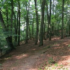
Asbachtal
2.8 km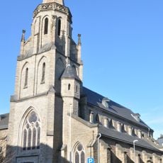
St. Marien
2 km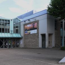
Deutsches Schloss- und Beschlägemuseum,
1.9 km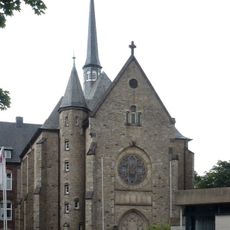
St. Kamillus (Essen)
2.6 km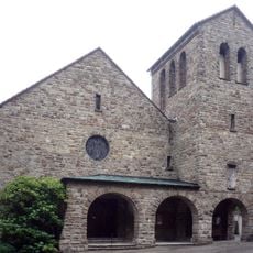
Zur Schmerzhaften Mutter Maria
2.5 km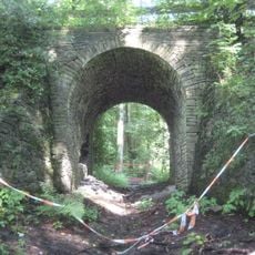
Schleppbahnbrücke Oberlangenhorstbeeke
1.2 km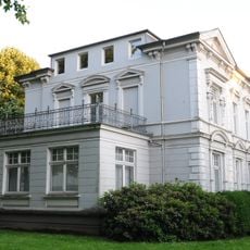
Villa Herminghaus
2 km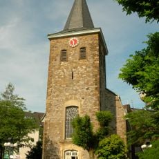
Alte Kirche Velbert
2.2 km
Christuskirche
4.1 km
Jüdischer Friedhof
1.1 km
Bürgermeisterhaus (Velbert)
2 km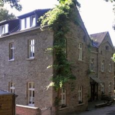
Rathaus
3.9 km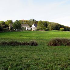
Röbbeck
1.7 km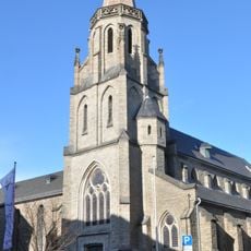
St. Marien
2 km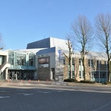
Forum Niederberg
2 kmReviews
Visited this place? Tap the stars to rate it and share your experience / photos with the community! Try now! You can cancel it anytime.
Discover hidden gems everywhere you go!
From secret cafés to breathtaking viewpoints, skip the crowded tourist spots and find places that match your style. Our app makes it easy with voice search, smart filtering, route optimization, and insider tips from travelers worldwide. Download now for the complete mobile experience.

A unique approach to discovering new places❞
— Le Figaro
All the places worth exploring❞
— France Info
A tailor-made excursion in just a few clicks❞
— 20 Minutes