
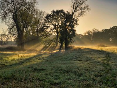
Siegaue, protected landscape in Troisdorf, Niederkassel and Sankt Augustin, Germany
Location: Troisdorf
Location: Niederkassel
Location: Sankt Augustin
Inception: 2005
GPS coordinates: 50.78777,7.12176
Latest update: March 27, 2025 20:23
Melanbogenbrücke der L143
3.4 km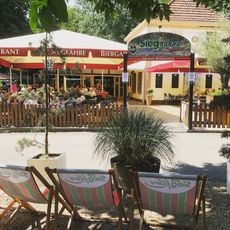
Siegfähre
2.7 km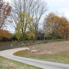
Jewish cemetery Bonn-Schwarzrheindorf
3.6 km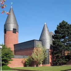
Adelheid von Vilich Church
1.6 km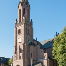
Church of St Lambertus (Bergheim)
2.6 km
St. Maria Königin
3.3 km
Kirche Herz Jesu (Friedrich-Wilhelms-Hütte)
2.7 km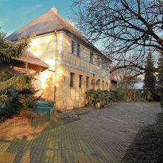
Haus Rott
3 km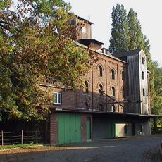
Eschmarer Mühle
179 m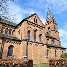
St. Augustinus
2.7 km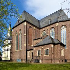
St. Johannes vor dem Lateinischen Tore
1.4 km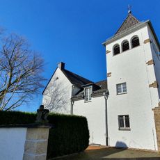
St. Peter und Paul
879 m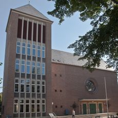
Holy Family Church
3.2 km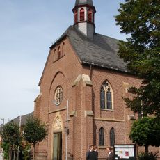
St. Maria Rosenkranzkönigin
1.6 km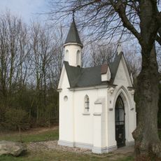
Immakulata-Kapelle
2.8 km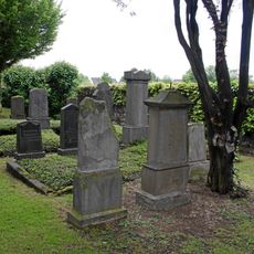
Jewish cemetery, Mondorf
3 km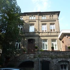
Sieglarer Mühle
1.4 km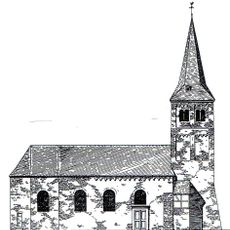
Alte Kirche St. Augustinus
2.8 km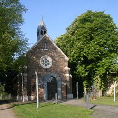
St. Antonius
2.6 km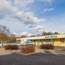
Stadtteilpark und Jugendzentrum
3.1 km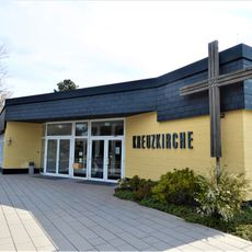
Kreuzkirche (Sieglar)
1 km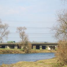
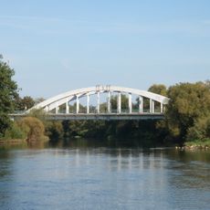
Siegbruecke der A59
1.9 km
Alte Burg Menden
2.6 km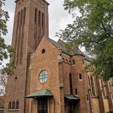
St. Joseph
2.9 km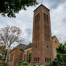
Oberdorfstraße 20d
2.9 km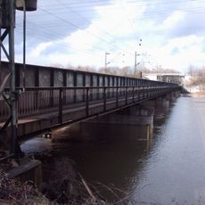
Siegbrücke zwischen Menden und Troisdorf
2.7 km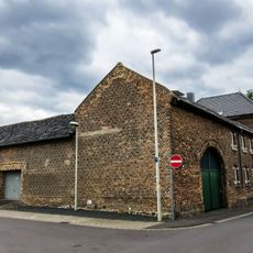
Abtstraße 34
2.9 km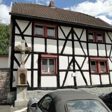
Oberdorfstraße 3
2.9 kmReviews
Visited this place? Tap the stars to rate it and share your experience / photos with the community! Try now! You can cancel it anytime.
Discover hidden gems everywhere you go!
From secret cafés to breathtaking viewpoints, skip the crowded tourist spots and find places that match your style. Our app makes it easy with voice search, smart filtering, route optimization, and insider tips from travelers worldwide. Download now for the complete mobile experience.

A unique approach to discovering new places❞
— Le Figaro
All the places worth exploring❞
— France Info
A tailor-made excursion in just a few clicks❞
— 20 Minutes