Enable Location

We need your location to show you interesting places around you

Discover nearby places

Find interesting locations and hidden gems around you

Precise directions

Get accurate directions and distances to places

Your location is never shared with other users. It's only used when you tap the location button.

Niederkassel

Log in to your account

Start exploring — it's free

Trusted by 61,993 travelers worldwide

Continue with Google
Continue with Apple
or

We will send you a code to connect

By continuing, you accept our Terms and Conditions and our Privacy Policy

Check your inbox

We've sent a pincode in your inbox. Please enter the code below.

Niederkassel, Urban municipality in Rhine-Sieg District, Germany.

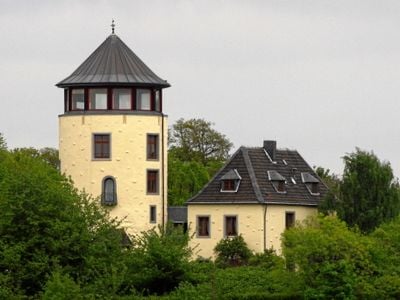
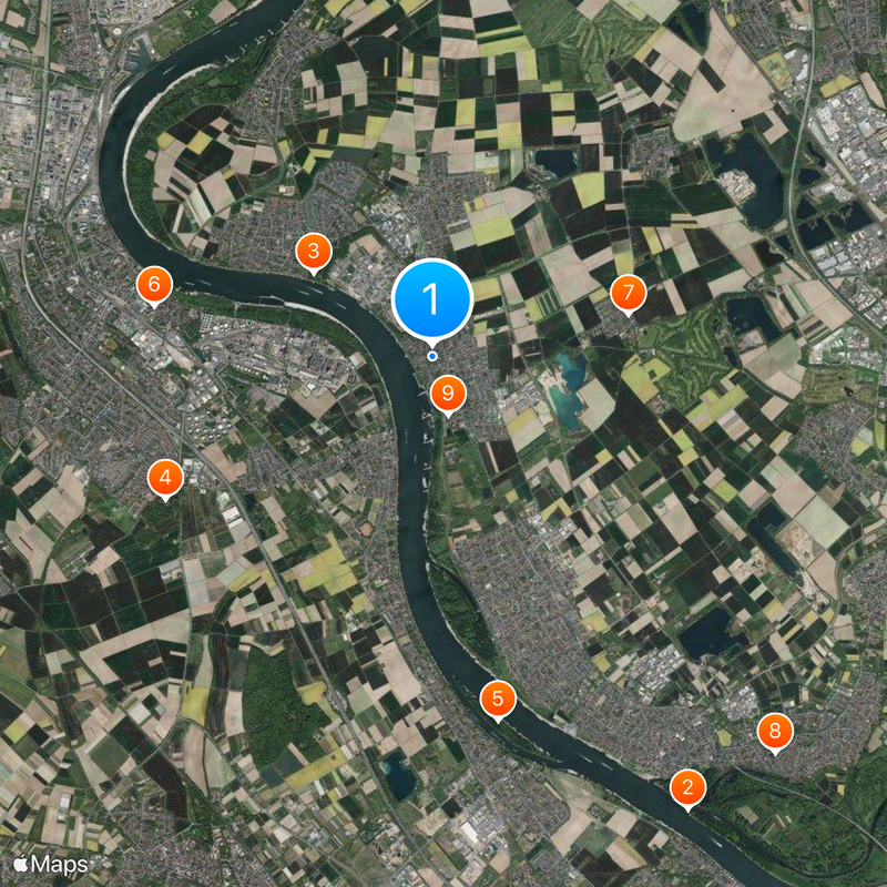
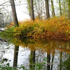
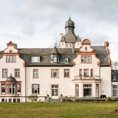
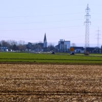
Niederkassel is a municipality situated on the right bank of the Rhine River in the Rhein-Sieg District, consisting of seven districts that blend residential neighborhoods with green spaces and small commercial areas. The layout spreads across relatively flat terrain with occasional wooded sections and gentle slopes that shape the overall landscape.

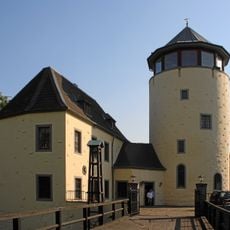
The municipality formed in the early 20th century through the merger of several villages into a single administrative unit. Growth accelerated after World War II when it developed into a residential area, a role it has maintained.

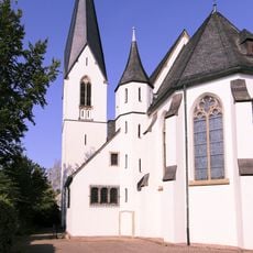
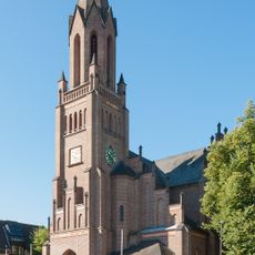
Each of the seven districts maintains its own festivals and traditions, contributing to a rich community life throughout the calendar year.

The municipality has good bus and rail connections to Cologne and Bonn as well as local destinations. Spring through autumn offers the best conditions for visiting, when riverside paths and parks are most welcoming.

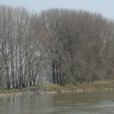
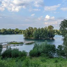
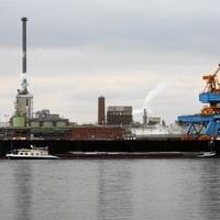
Local residents participate in Rhine riverside activities through dedicated walking paths in Lülsdorf, Niederkassel, and Rheidt districts.

The community of curious travelers

AroundUs brings together thousands of curated places, local tips, and hidden gems, enriched daily by 60,000 contributors worldwide.

Start exploring
Elevation above the sea
56 m
Shares border with
Bornheim, Troisdorf
GPS coordinates
50.81667,7.03333
Latest update
December 19, 2025 23:46
« Niederkassel - Urban municipality in Rhine-Sieg District, Germany » is provided by Around Us (aroundus.com). Images and texts are derived from Wikimedia project under a Creative Commons license. You are allowed to copy, distribute, and modify copies of this page, under the conditions set by the license, as long as this note is clearly visible.

Discover hidden gems everywhere you go!

From secret cafés to breathtaking viewpoints, skip the crowded tourist spots and find places that match your style. Our app makes it easy with voice search, smart filtering, route optimization, and insider tips from travelers worldwide. Download now for the complete mobile experience.

Around Us App Screenshot

A unique approach to discovering new places

Le Figaro

All the places worth exploring

France Info

A tailor-made excursion in just a few clicks

20 Minutes

Around Us
Travel Guide & Maps
Download

Send to your phone

QR Code
1

Open the camera app on your mobile.

2

Point at the QR code with your camera. A notification will appear.

3

Tap the notification to open the link.