
LSG Burbach, protected area in Germany
Location: Burbach
Inception: 2003
GPS coordinates: 50.74332,8.09130
Latest update: March 25, 2025 09:59
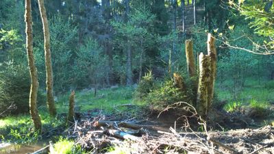
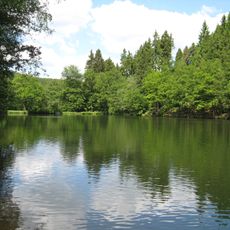
Landeskroner Weiher
5.4 km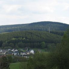
Burg
1.9 km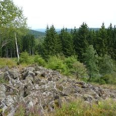
Trödelsteine
4.2 km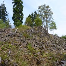
Trödelsteine
4.2 km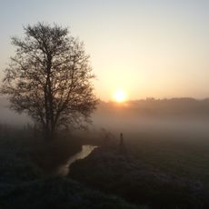
Wetterbachtal
4.2 km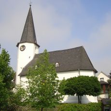
Wehrkirche Würgendorf
3 km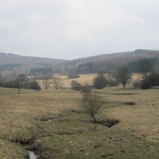
Gilsbachtal
2.6 km
Bautenberg
5.6 km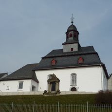
Evangelische Kirche Haiger-Allendorf
6.4 km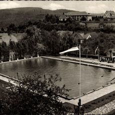
Freibad Burbach
750 m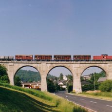
Eisenbahnbrücke
6.3 km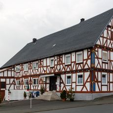
Wachenbergstraße 41
6.2 km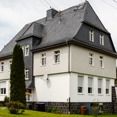
Alte Schule
6.5 km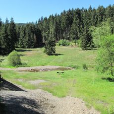
Unteres Buchhellertal
2.6 km
Gambach
1.7 km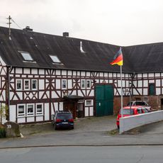
Wachenbergstraße 39
6.2 km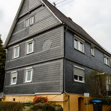
Mittelstraße 5
6.4 km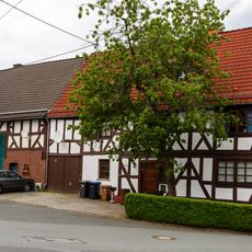
Im Gelmbach 7/8
6.6 km
Mittelstraße 28/30, Bockhausberg 14
6.5 km
Rathaus
6.4 km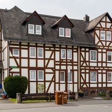
Siegener Straße 2
6.4 km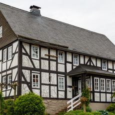
Seelbachstraße 19
6.6 km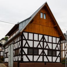
Seelbachstraße 13a
6.6 km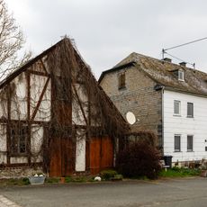
Schneidmühle
6.5 km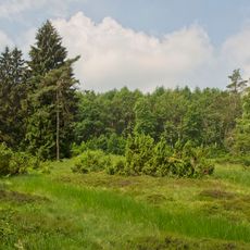
In der Gambach
1.8 km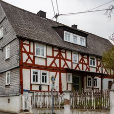
Mittelstraße 19
6.4 km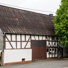
Haigerseelbacher Straße 42
6.6 km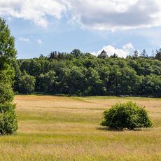
Wechselfeuchtes Grünland nordwestlich Haiger-Flammersbach
5.5 kmVisited this place? Tap the stars to rate it and share your experience / photos with the community! Try now! You can cancel it anytime.
Discover hidden gems everywhere you go!
From secret cafés to breathtaking viewpoints, skip the crowded tourist spots and find places that match your style. Our app makes it easy with voice search, smart filtering, route optimization, and insider tips from travelers worldwide. Download now for the complete mobile experience.

A unique approach to discovering new places❞
— Le Figaro
All the places worth exploring❞
— France Info
A tailor-made excursion in just a few clicks❞
— 20 Minutes