Anrather Bach/Holterhöfe, Landschaftsschutzgebiet in Nordrhein-Westfalen
Location: Willich
Inception: 1999
GPS coordinates: 51.29033,6.49236
Latest update: October 31, 2025 02:24
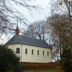
Kapelle Klein-Jerusalem
3.7 km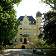
Haus Broich
2.1 km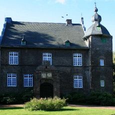
Haus Stockum
4.1 km
Saint John the Baptist Church
2.4 km
Hauptfriedhof Krefeld
4.4 km
H2Oh!
3.6 km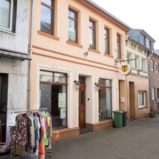
Heimathaus Antonius
3.5 km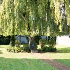
Jüdischer Friedhof in St. Tönis
4 km
Jüdischer Friedhof
3 km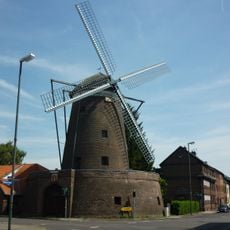
Streuff-Mühle
3.8 km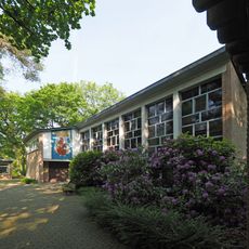
Johanneskirche
1.5 km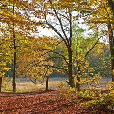
LSG-Oberbenrad-Forstwald
2.4 km
GeschichtsLandschaften Station 11
3.8 km
Memorial
4.4 km
Alter Willicher Bahnhof
3.9 km
Streuffmühle
3.8 km
Prinz-Ferdinand-Denkmal
2.7 km
Soldatendenkmal
3.9 km
Ehemalige Synagoge
2.7 km
St. Martin
3.4 km
Memorial, Stolperstein
2.6 km
Stolperstein, memorial
2.7 km
Stolperstein, memorial
2.5 km
Stolperstein, memorial
2.6 km
Antonius-Denkmal
3.5 km
Mausoleum, tomb
3.6 km
Gedenkstätte für die Opfer der Konzentrationslager
4.4 km
Gedenkstätte für die Opfer der nationalsozialistischen Gewaltherrschaft
4.3 kmReviews
Visited this place? Tap the stars to rate it and share your experience / photos with the community! Try now! You can cancel it anytime.
Discover hidden gems everywhere you go!
From secret cafés to breathtaking viewpoints, skip the crowded tourist spots and find places that match your style. Our app makes it easy with voice search, smart filtering, route optimization, and insider tips from travelers worldwide. Download now for the complete mobile experience.

A unique approach to discovering new places❞
— Le Figaro
All the places worth exploring❞
— France Info
A tailor-made excursion in just a few clicks❞
— 20 Minutes