
LSG-Dollendorfer Kalkmulde, protected area in Germany
Location: Blankenheim
Inception: 2007
GPS coordinates: 50.37923,6.66449
Latest update: April 21, 2025 02:27
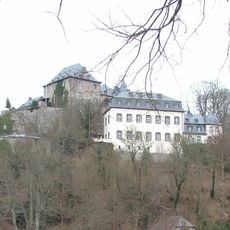
Castle Blankenheim
6.6 km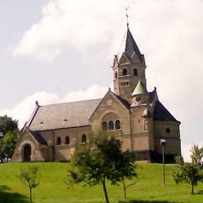
Erlöserkirche (Mirbach)
2.8 km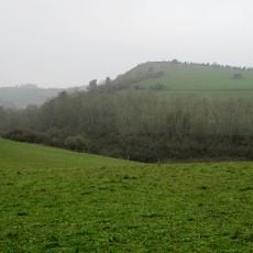
Kalvarienberg
2.1 km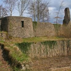
Burgruine Schloßthal
3.6 km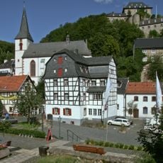
St. Mariä Himmelfahrt, Blankenheim
6.6 km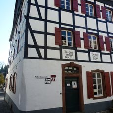
Eifelmuseum Blankenheim
6.6 km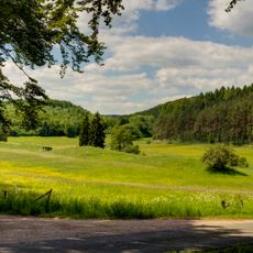
Lampertstal und Alendorfer Kalktriften mit Fuhrbach und Mackental
1.3 km
Burg Neuweiler
3.9 km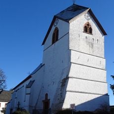
St. Johann Baptist
944 m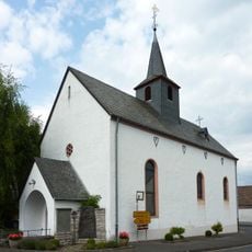
St. Martin (Freilingen)
5.9 km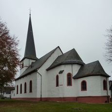
Saint John the Baptist Church (Dollendorf)
3.1 km
Reetz Castle
5.7 km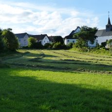
Burg Freilingen
5.9 km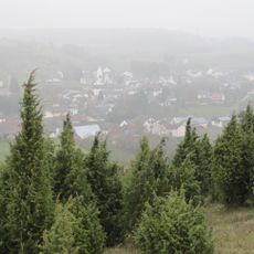
St. Agatha
2.3 km
St. Dionysius
3.4 km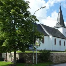
Saint Margaret of Antioch Church
5.6 km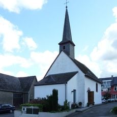
St Anne's church
2.1 km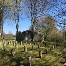
Kriegsgräberstätte Blankenheim–Alendorf
1.9 km
St. Medardus
4.1 km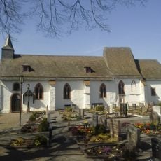
Wiesbaum cemetery chapel
4.5 km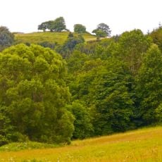
Schaafbachtal mit Seitentälern und Stromberg
2.3 km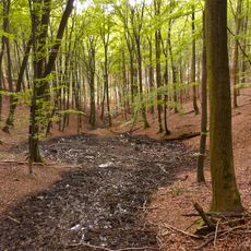
Obere Ahr mit Mülheimer Bach, Reetzer Bach und Mühlenbachsystem
3.9 km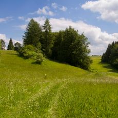
Nonnenbachtal und Seitentäler mit Froschberg und Gillenberg
5.7 km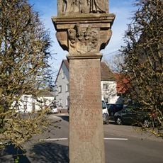
Kreuz für Johann Oswald Mohr von Wald
4.2 km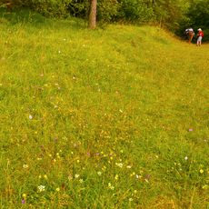
Mäuerchenberg, Hierneberg und Pinnert bei Gönnersdorf
6.3 km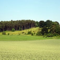
Eusberg bei Mirbach
2.3 km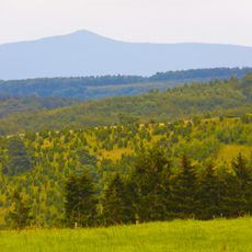
Baumberg bei Wiesbaum
4 km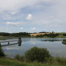
LSG-Freilinger See
5.8 kmReviews
Visited this place? Tap the stars to rate it and share your experience / photos with the community! Try now! You can cancel it anytime.
Discover hidden gems everywhere you go!
From secret cafés to breathtaking viewpoints, skip the crowded tourist spots and find places that match your style. Our app makes it easy with voice search, smart filtering, route optimization, and insider tips from travelers worldwide. Download now for the complete mobile experience.

A unique approach to discovering new places❞
— Le Figaro
All the places worth exploring❞
— France Info
A tailor-made excursion in just a few clicks❞
— 20 Minutes