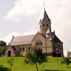
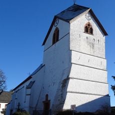
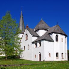
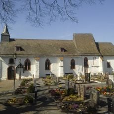
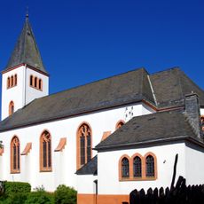
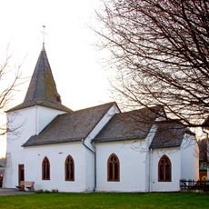
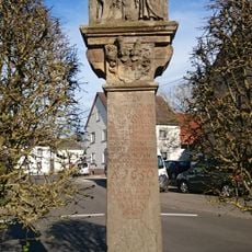
Kalvarienberg, Religious mountain site in Blankenheim, Germany.
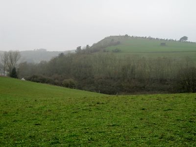
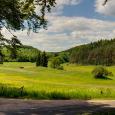
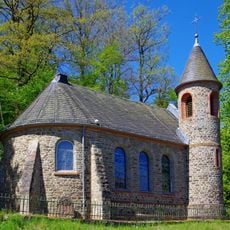
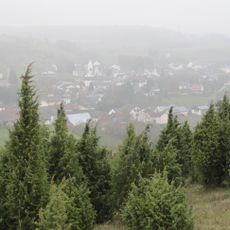
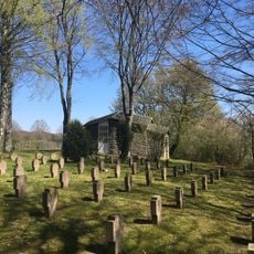
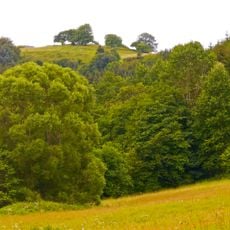
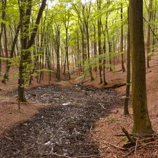
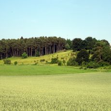
Kalvarienberg rises to 523 meters and features fourteen stations depicting scenes from the crucifixion. A roughly one-kilometer path winds through hilly terrain covered in juniper vegetation.
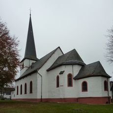
Count Salentin Ernest of Manderscheid-Blankenheim established the first seven stations between 1663 and 1680. Seven additional stations were added during the 1800s, expanding the devotional site.
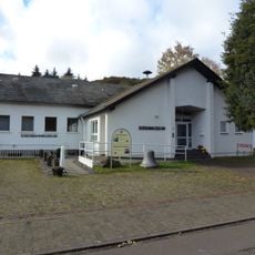
The mountain serves as a destination for religious processions, particularly during Easter Week, rooted in centuries-old local practice. Visitors experience the site as a place for contemplation and spiritual connection, woven into the rhythms of the community.
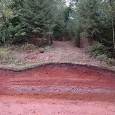
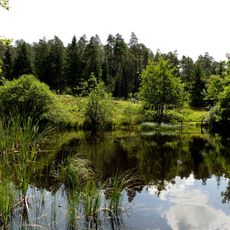
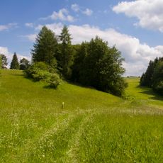
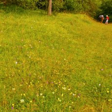
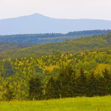
The site is accessible from June through October with well-maintained paths guiding visitors through the terrain. The surrounding area encompasses one of North Rhine-Westphalia's largest juniper heathlands, providing good conditions for exploration.
A flock of around 600 sheep grazes the slopes, maintaining the landscape through natural management. This grazing supports habitats for 31 orchid species and diverse butterfly populations.
Elevation above the sea: 522.8 m
GPS coordinates: 50.36730,6.64125
Latest update: December 12, 2025 16:40
Erlöserkirche
2.9 km
Jünkerath train station
5 km
Burgruine Schloßthal
5.6 km
Lampertstal und Alendorfer Kalktriften mit Fuhrbach und Mackental
3 km
Heidenköpfe
5.8 km
Burg Neuweiler
6 km
St. Johann Baptist
2.3 km
Jünkerath Railway Museum
4.9 km
Saint John the Baptist Church (Dollendorf)
4.7 km
Protestant Church
5.1 km
St. Agatha
374 m
St. Antonius
5 km
St. Dionysius
2.6 km
St Anne's church
4.2 km
Kreuzauffindung
5.7 km
Kriegsgräberstätte Blankenheim–Alendorf
462 m
St. Medardus
2.1 km
Wiesbaum cemetery chapel
3.8 km
In der Wasserdell
5.8 km
St. Paul
5.9 km
Schaafbachtal mit Seitentälern und Stromberg
2.8 km
Obere Ahr mit Mülheimer Bach, Reetzer Bach und Mühlenbachsystem
5.9 km
Nonnenbachtal und Seitentäler mit Froschberg und Gillenberg
6.2 km
St. Hubertus
5.4 km
Kreuz für Johann Oswald Mohr von Wald
3.5 km
Mäuerchenberg, Hierneberg und Pinnert bei Gönnersdorf
4.3 km
Eusberg bei Mirbach
2.8 km
Baumberg bei Wiesbaum
2.5 kmVisited this place? Tap the stars to rate it and share your experience / photos with the community! Try now! You can cancel it anytime.
Discover hidden gems everywhere you go!
From secret cafés to breathtaking viewpoints, skip the crowded tourist spots and find places that match your style. Our app makes it easy with voice search, smart filtering, route optimization, and insider tips from travelers worldwide. Download now for the complete mobile experience.
A unique approach to discovering new places❞
— Le Figaro
All the places worth exploring❞
— France Info
A tailor-made excursion in just a few clicks❞
— 20 Minutes